ANNAPURNA CIRCUIT: JOMSOM TO POKHARA
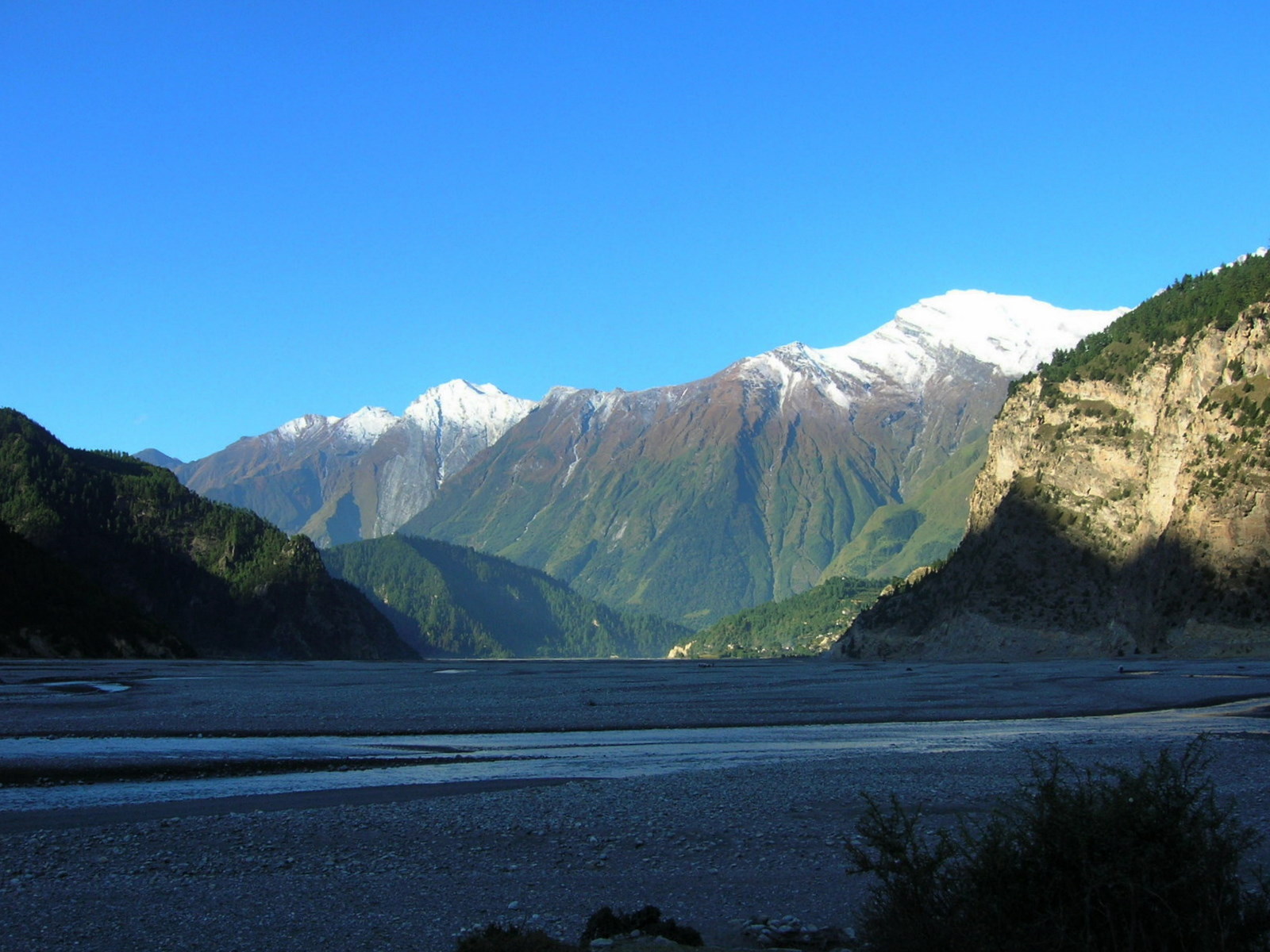 The stream South of Jomsom takes the entire valley bottom meandering and depositing debris from one side of the valley to the other.
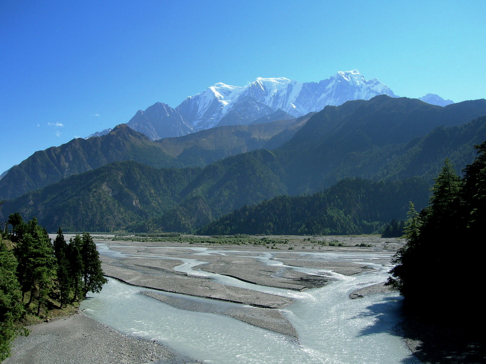 Cultivation can only be done in the narrow side valleys because the main river does not allow any land use in its domain.
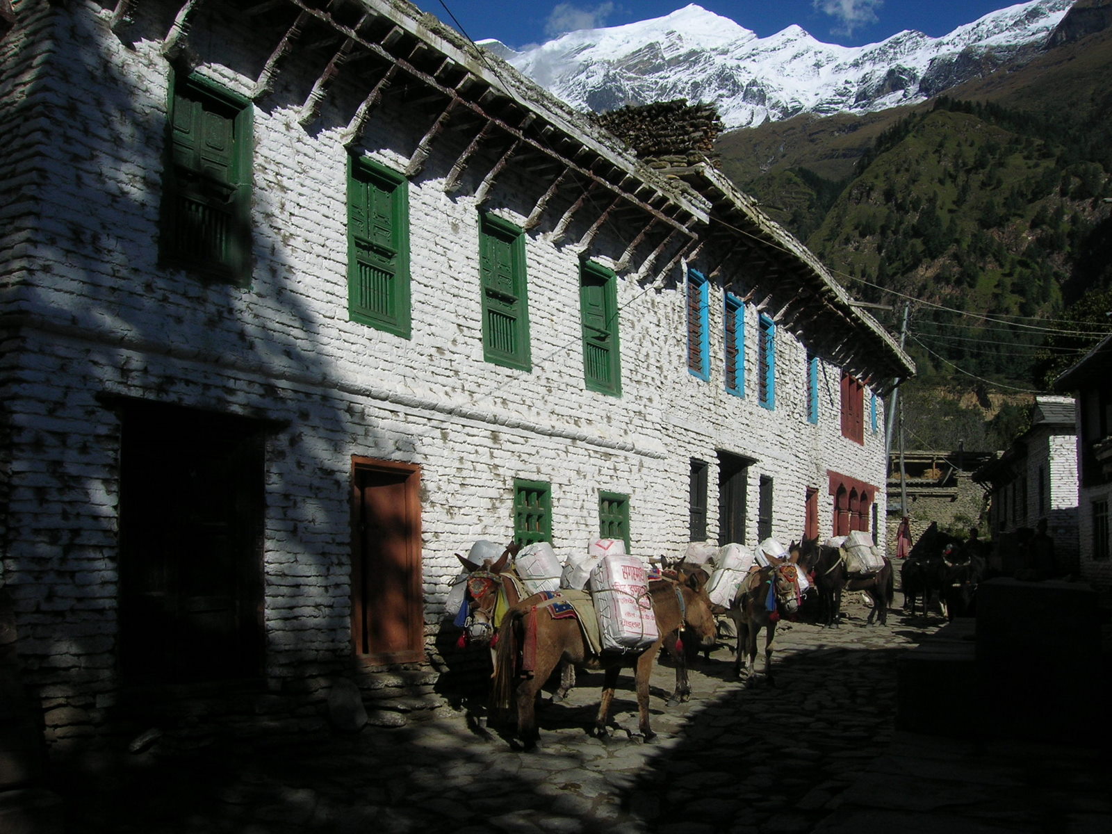 Donkey treks are the one and only means of transport to the remote villages in the mountains. They carry food supplies, fuel and medication uphill and apples and other fruits from the orchards downhill.
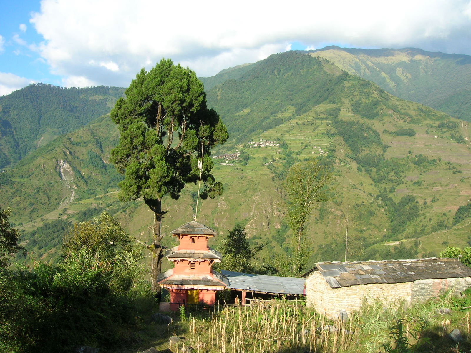
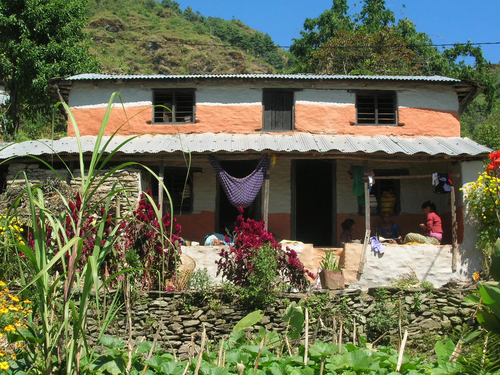
 Finally, we reached Tatopani from where we turn East into very green and more populated areas. The land use is a mixture of forest and rice terraces wherever the slopes are moderate enough to allow the cultivation.
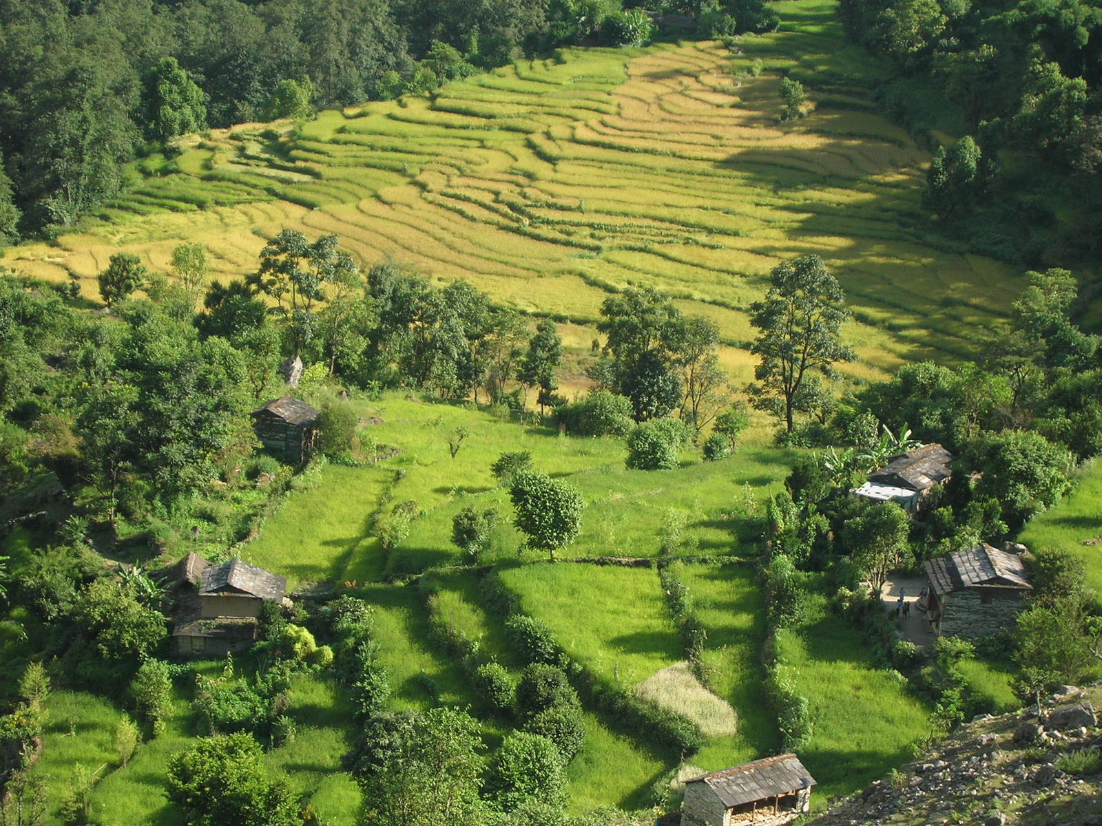 Here for example, this is obviously the case.
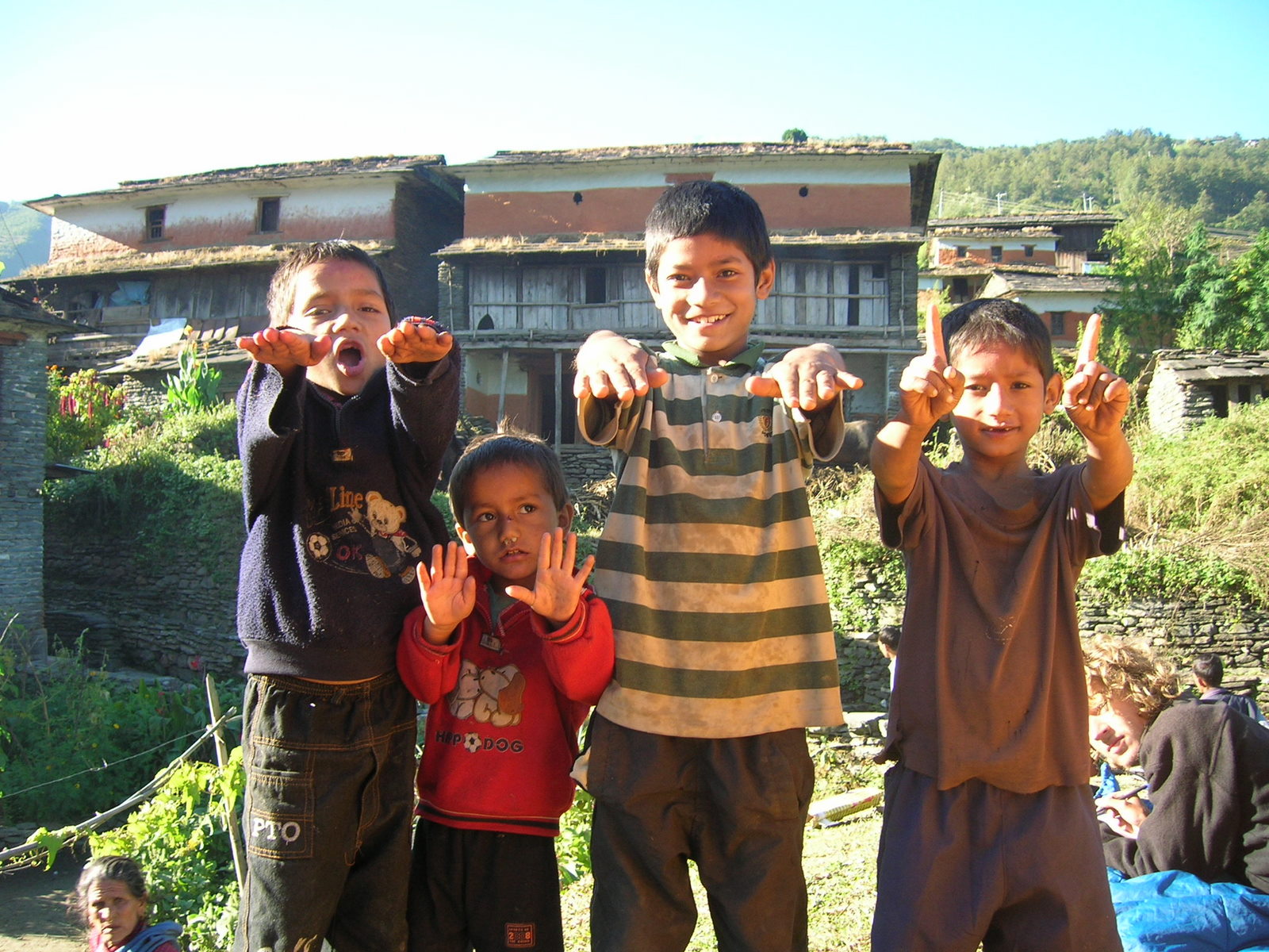 In Ghara we camped in the middle of a village, where the was a big celebration. Some of the kids though did not participate and for them our presence was the much more interesting happening.
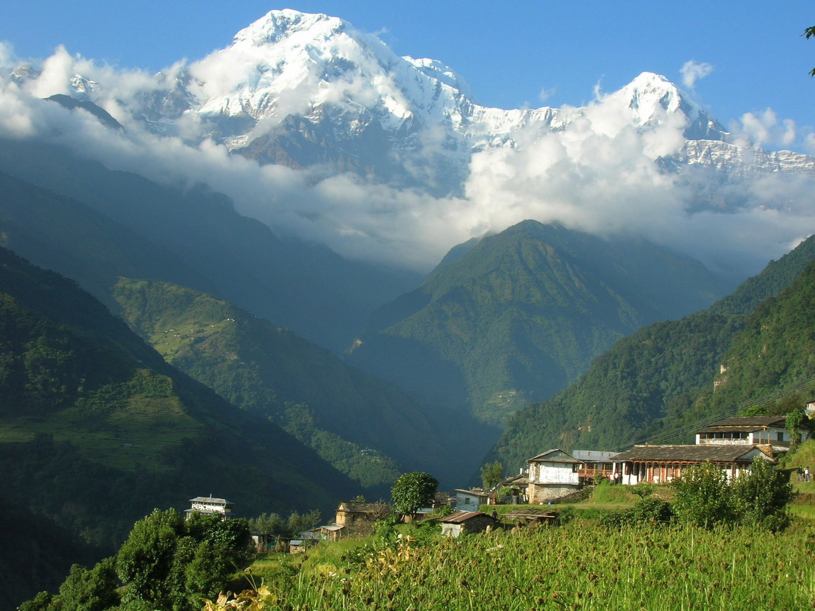
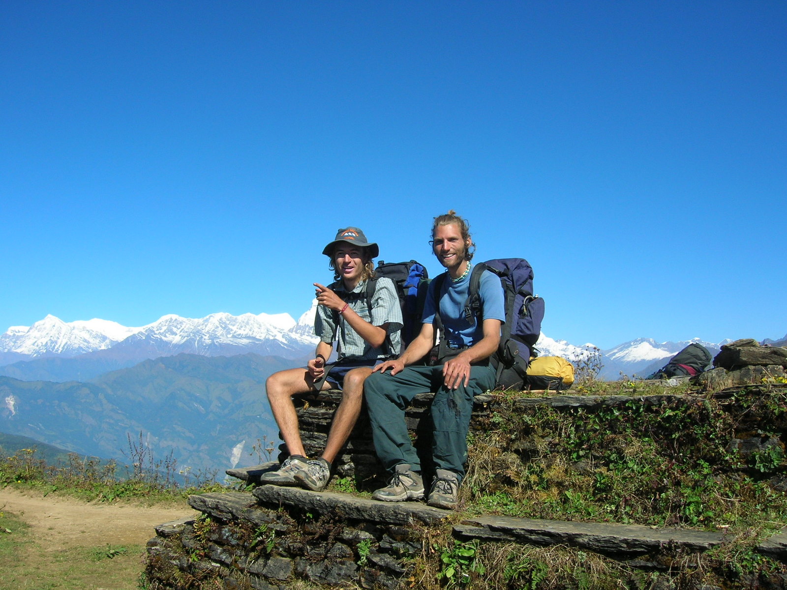 Ascending Poon Hill at 3190m we got another fantastic view on the Annapurna range from a Southern perspective.
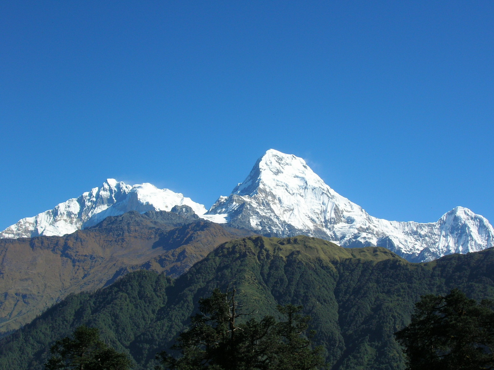
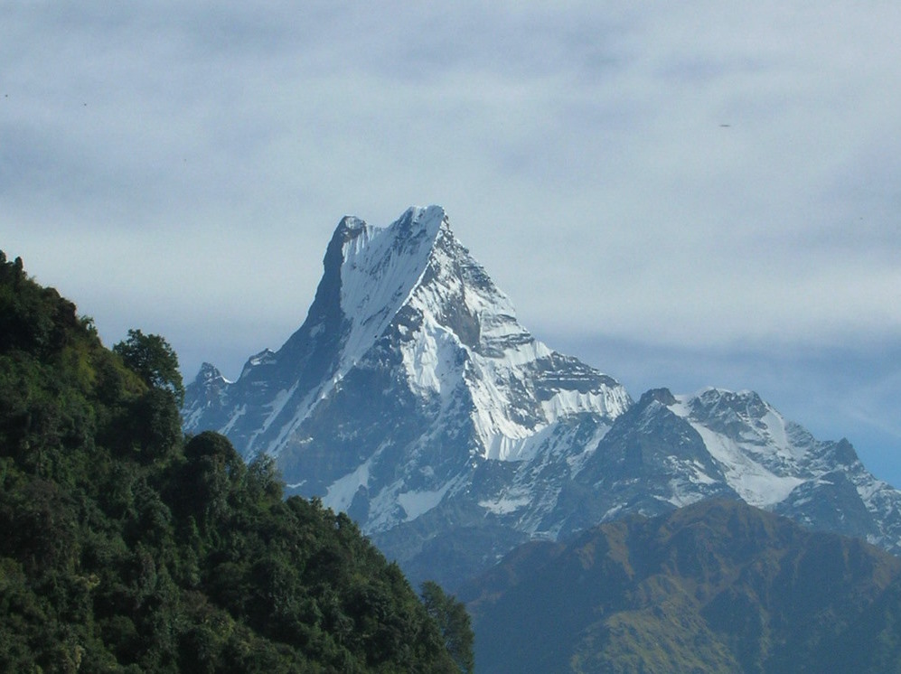 The Macchapucchre (6994m) commands tremendous vertical relief in a short horizontal distance. This, combined with its steep and pointed profile, makes it a particularly striking peak, despite the lower elevation compared to some of its neighbours. Its double summit resembles the tail of a fish, hence the funny Nepali name meaning 'Fish's Tail' in english.
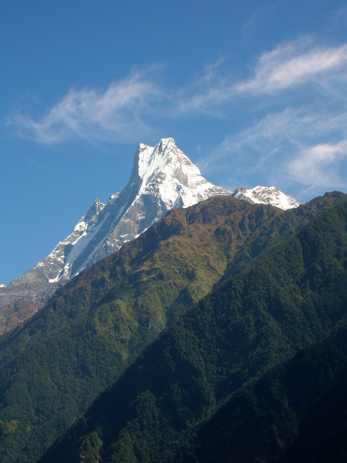 It is believed that the summit is particularly sacred to the god Shiva and is therefore off limits for climbing.
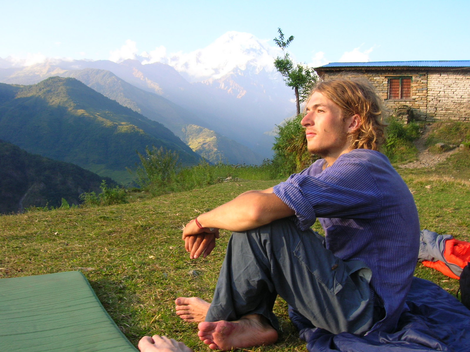
 A sesame field near Landruk (1600m) with a stunning view on Annapurna I.
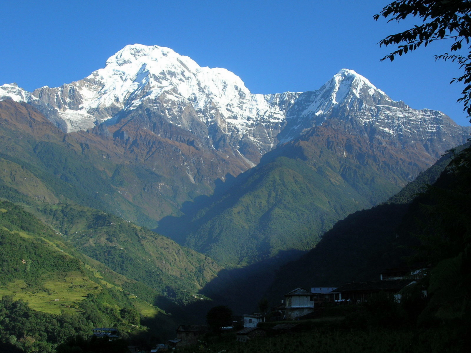 Same picture a few hours later.
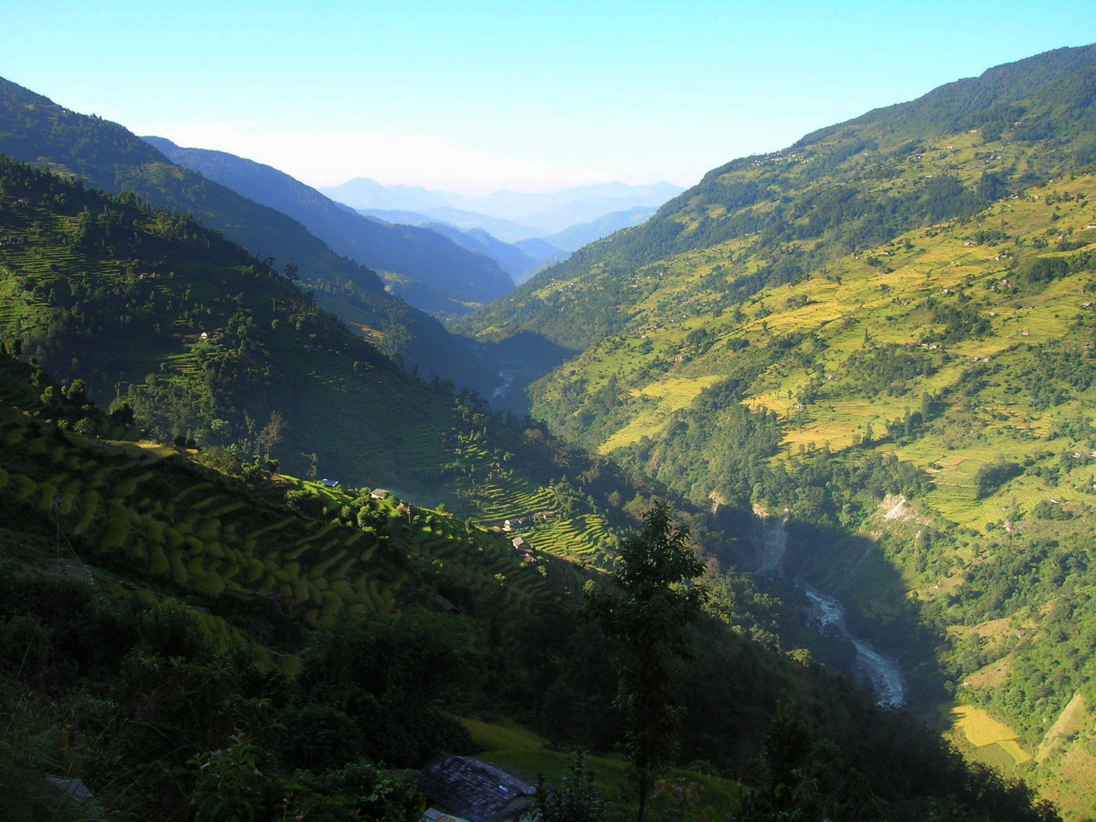
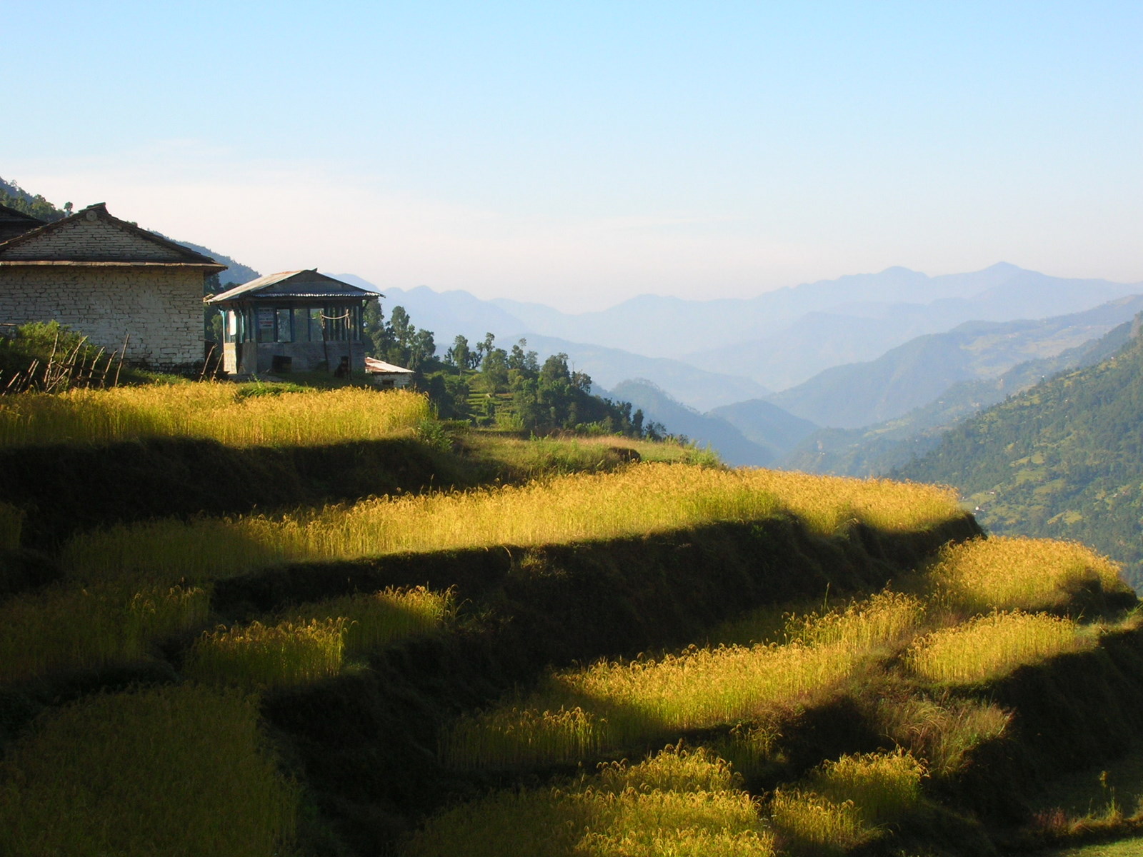 Rice cultivation requires extremely complicated banking. But it is done in impressive manner.
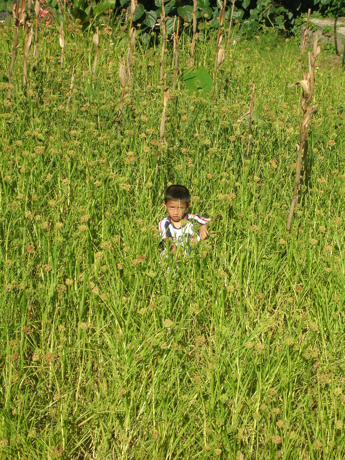
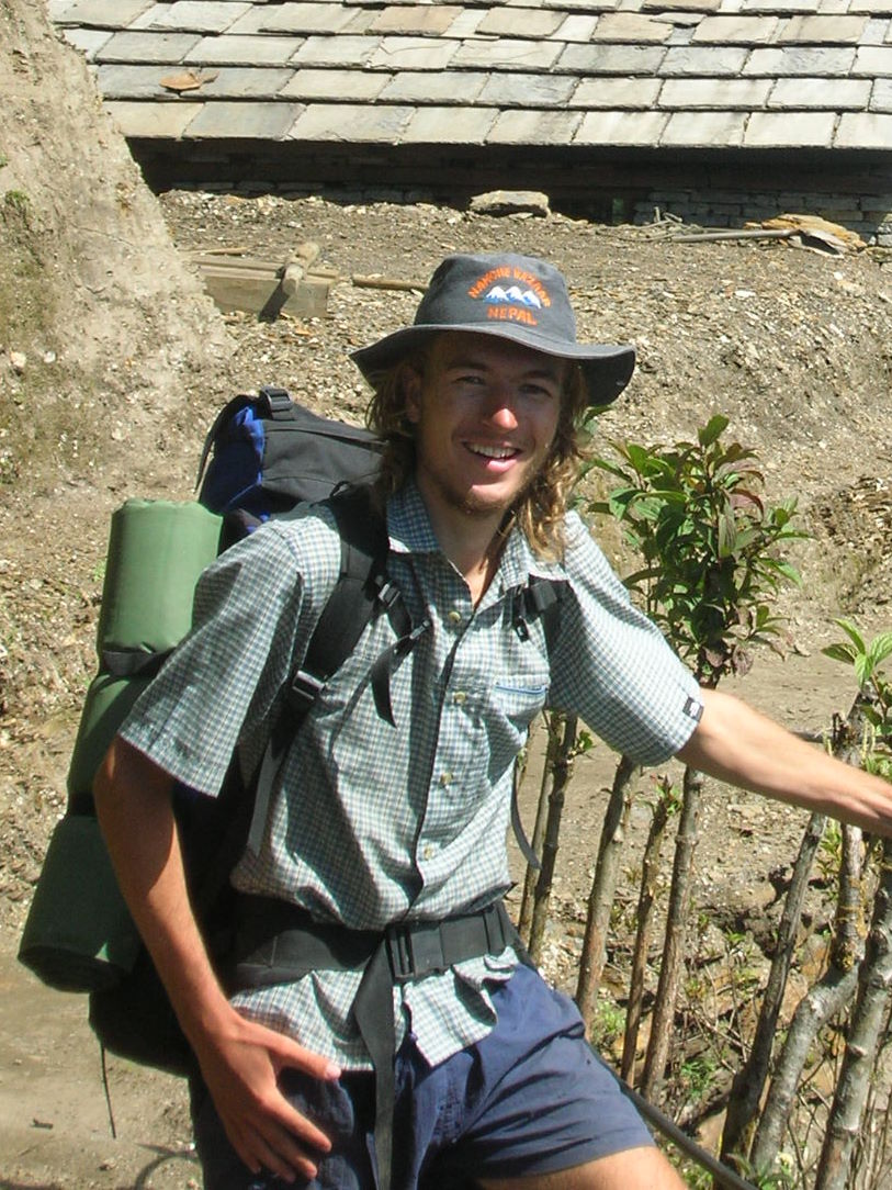
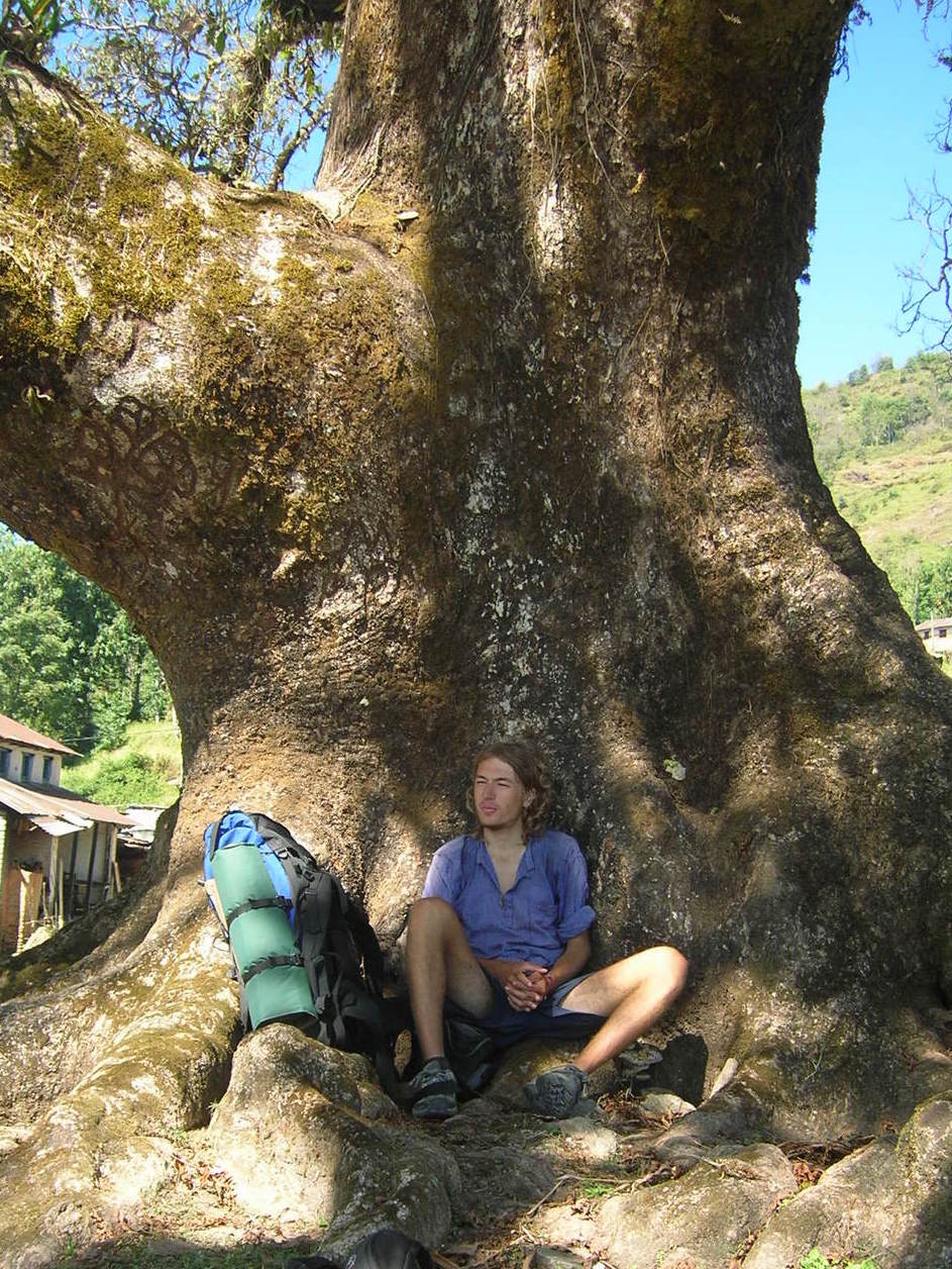 One of the very last recreational breaks in the cooling shade of a humongous tree.
previous next