NEGEV DESERT, DEAD SEA, GOLAN HEIGHTS
 Starting from Tel Aviv we try to get a ride through the Negev desert to Eilat at the Southern tip of Israel. There we want to cross the border to Egypt to get a glimpse of the mountainous landscape of the Sinai.
 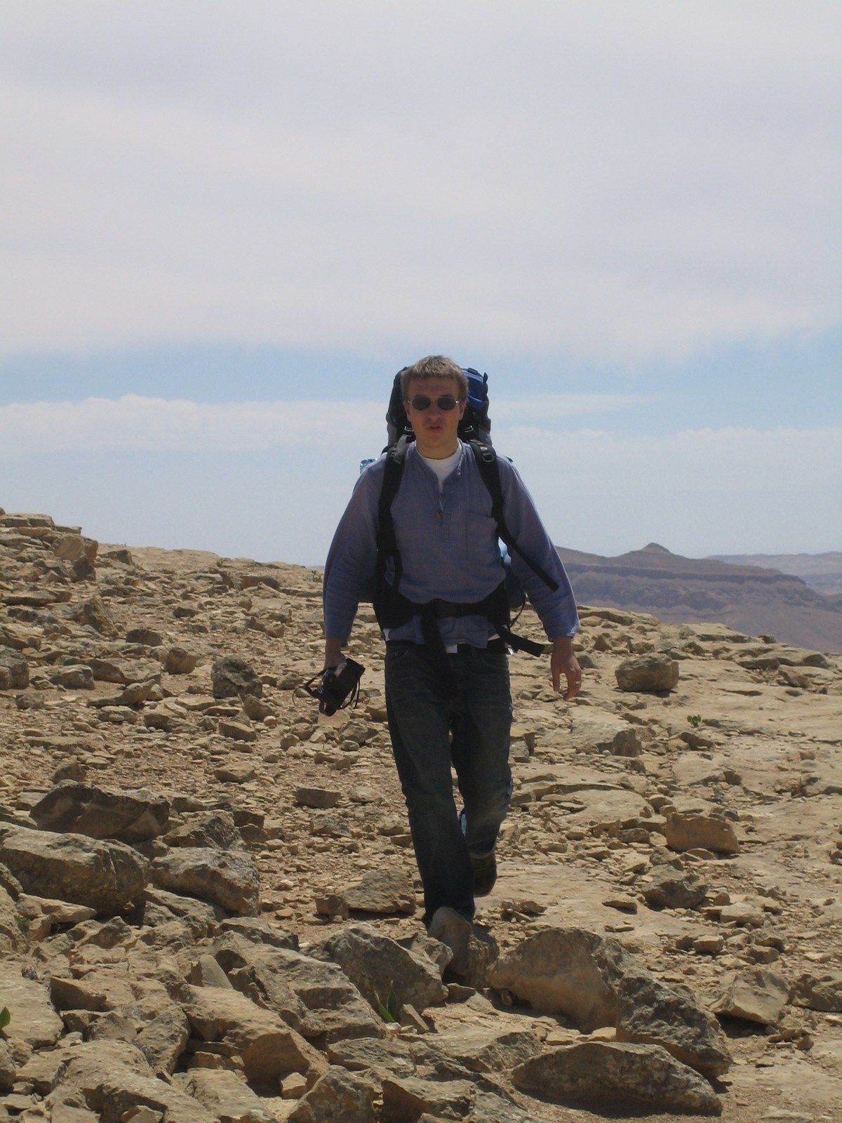 "/>First stop is Central Negev. Shimmering heat, and bare rocks draw a barren picture of the area that the Israeli government want to turn into a flourishing garden.
 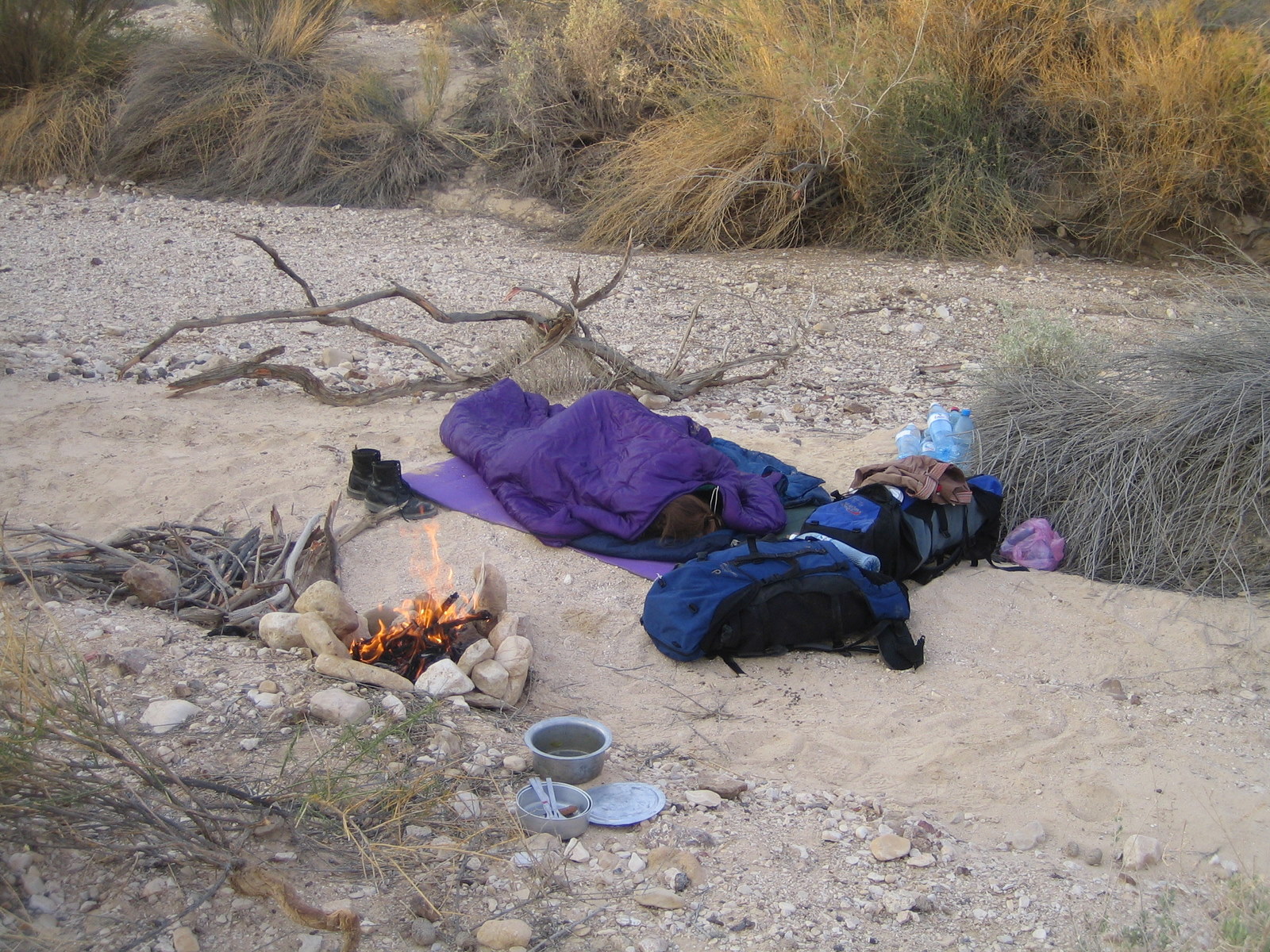 Accommodation was found in a little oasis along an ephemeral stream providing at least protection from wind and some little firewood.
 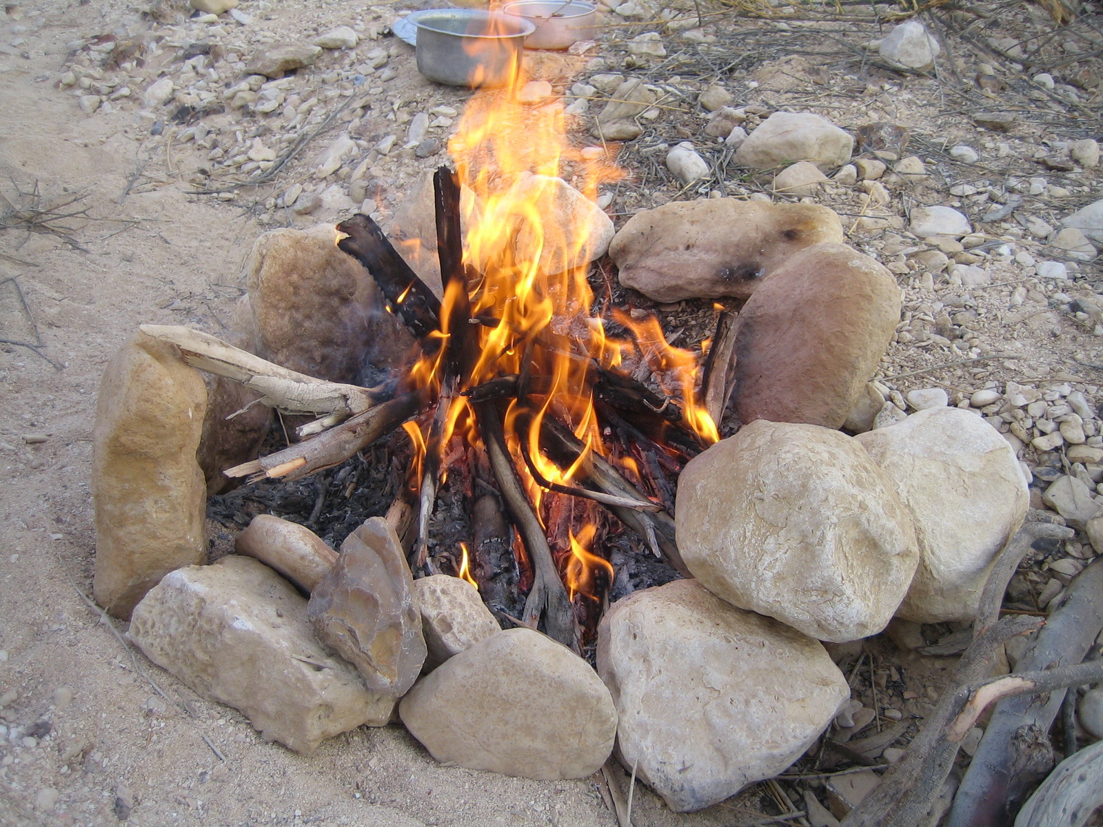 The temperatures in the desert drop at night and a cup of hot tea can help to get people out of their cosy sleeping bags.
 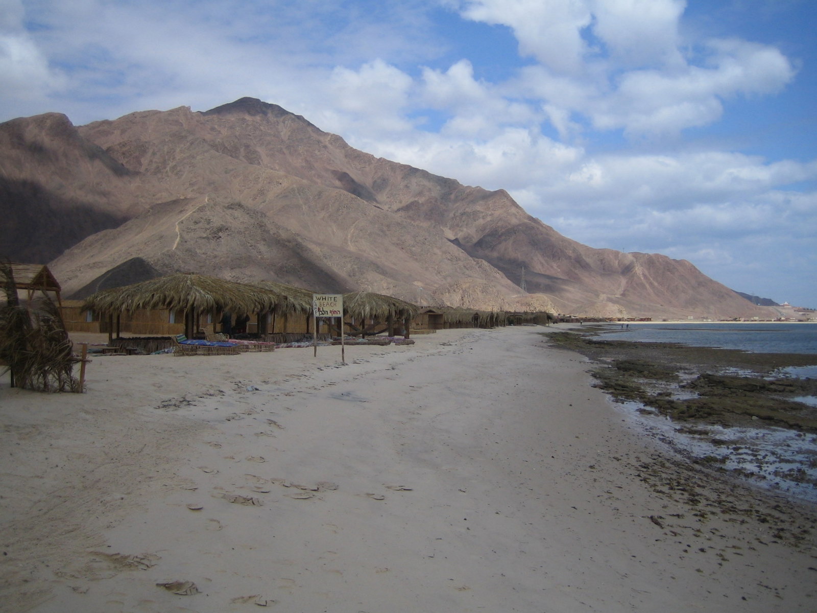 A holiday resort at the coast of the Sinai. Apart from the coastal highway, most tourist infrastructure is unfinished and the empty hotel cities look like ghost settlements. One next to another.
 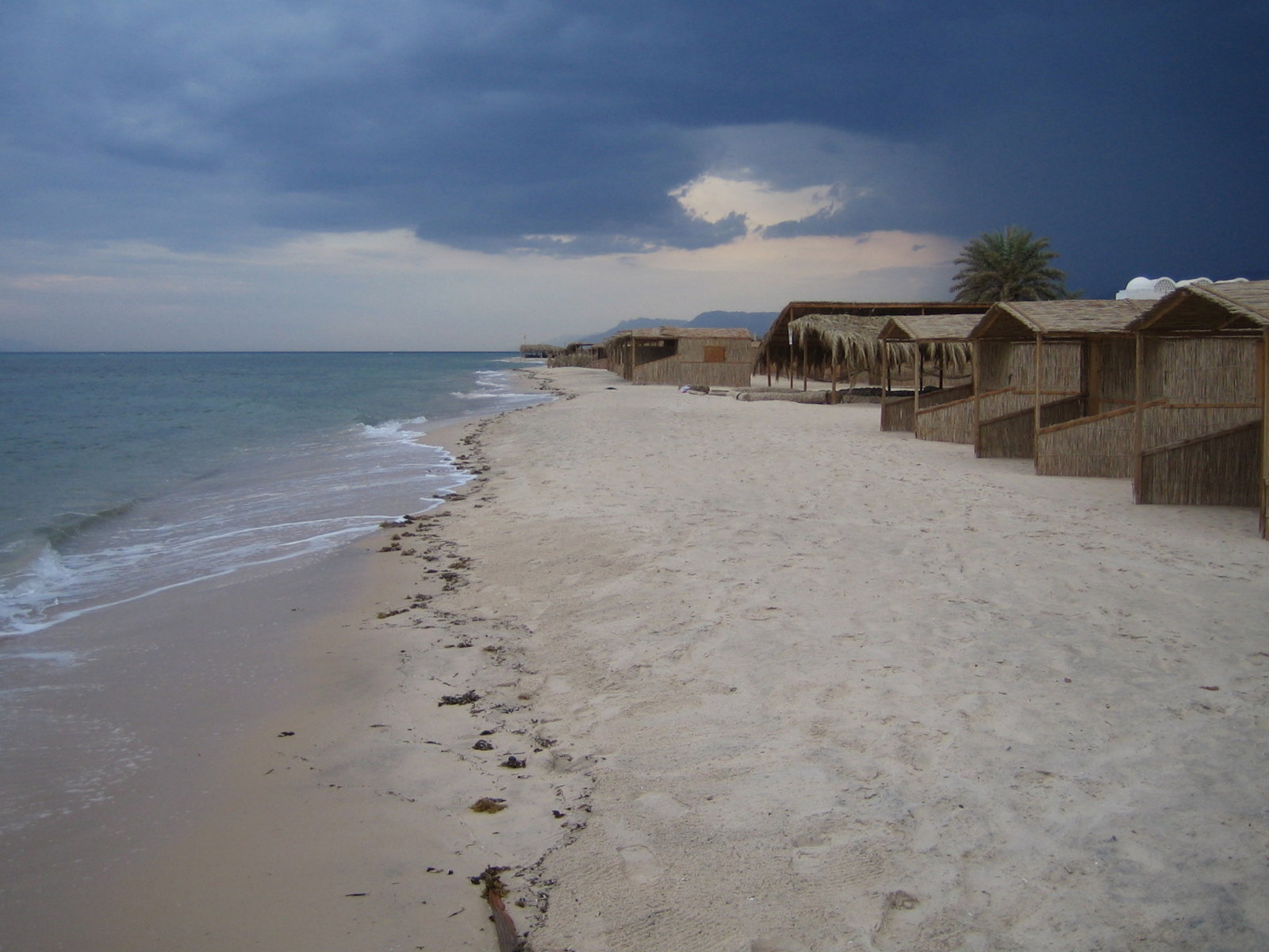 We found a deserted cabin village on the narrow stretch between the sea and the mountains of the Sinai. No visitors, no reception, no payment. Unfortunately, also no water proof roof, as experienced with the storm clouds approaching in the back.
 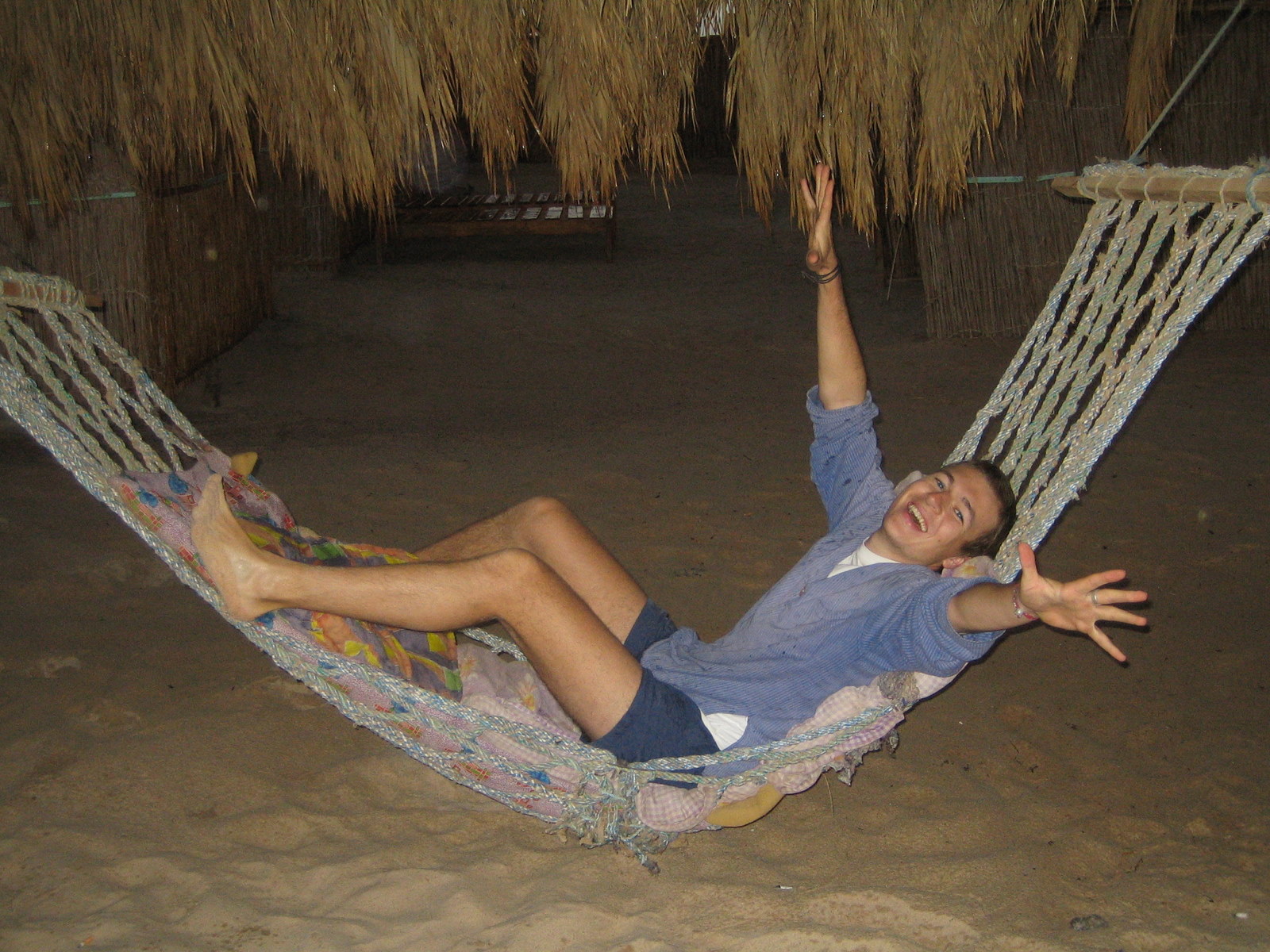 In a hammock with sea view, though, the rain is easy to take.
 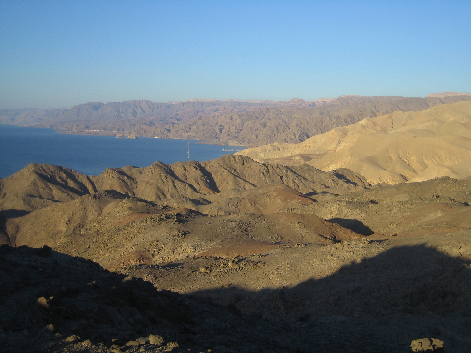 The Sinai Peninsula seen from Eilat.
 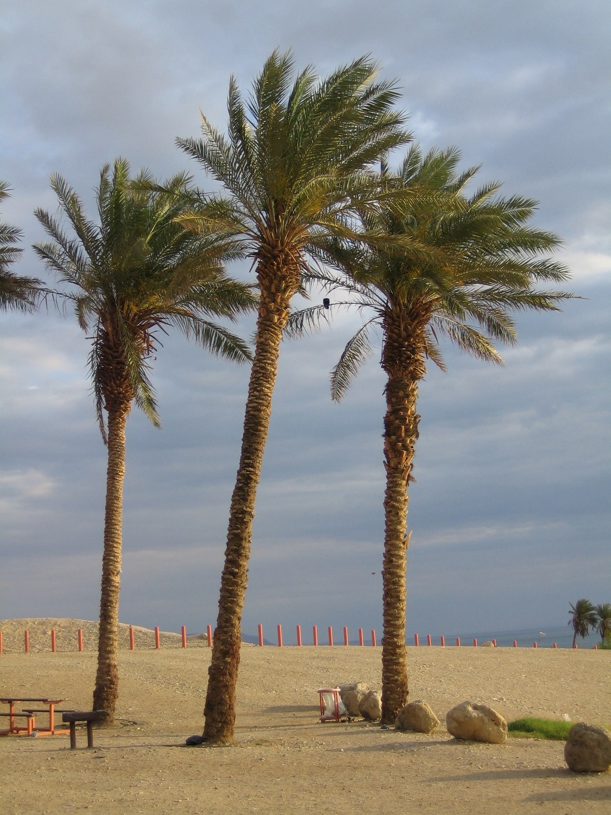 A bathing place at the Dead Sea. As usual without any people.
 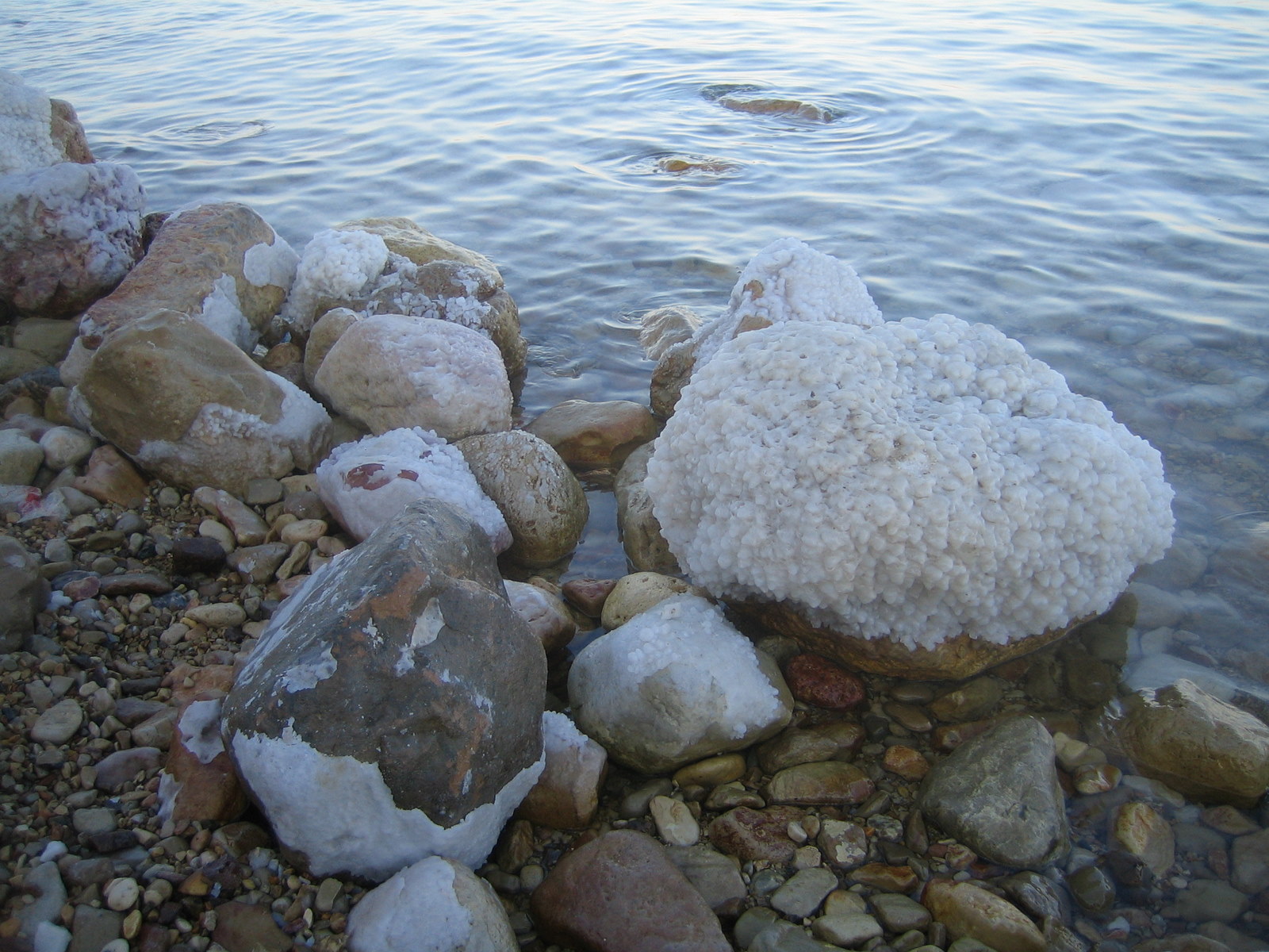 The Dead Sea has an extremely high salt content. Salt crystals precipate on stones and rocks. You better do NOT have an open wound when entering the sea here.
 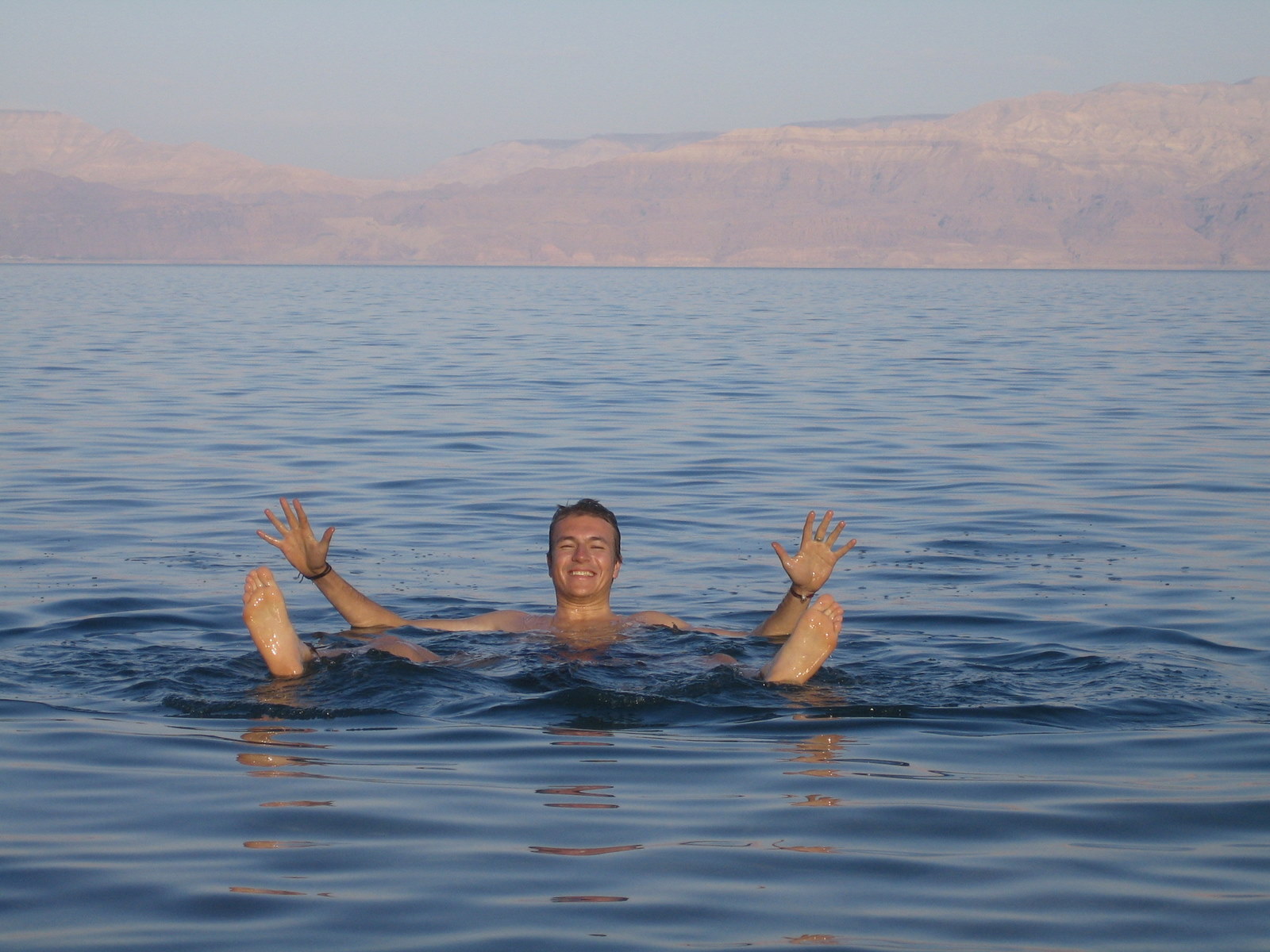 No swimming necessary. The high density of the water keeps you right by the surface. Bring a book instead.
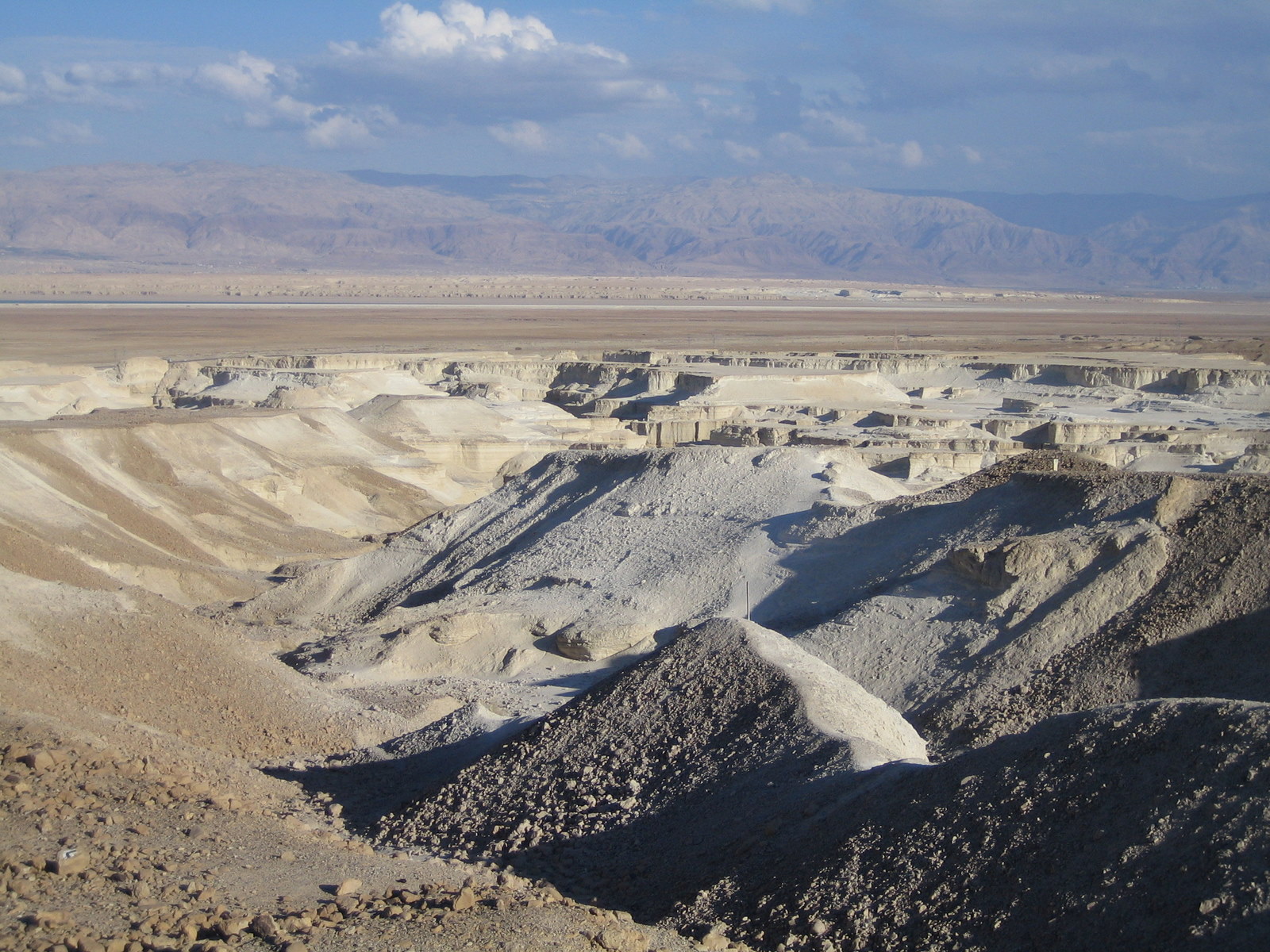
 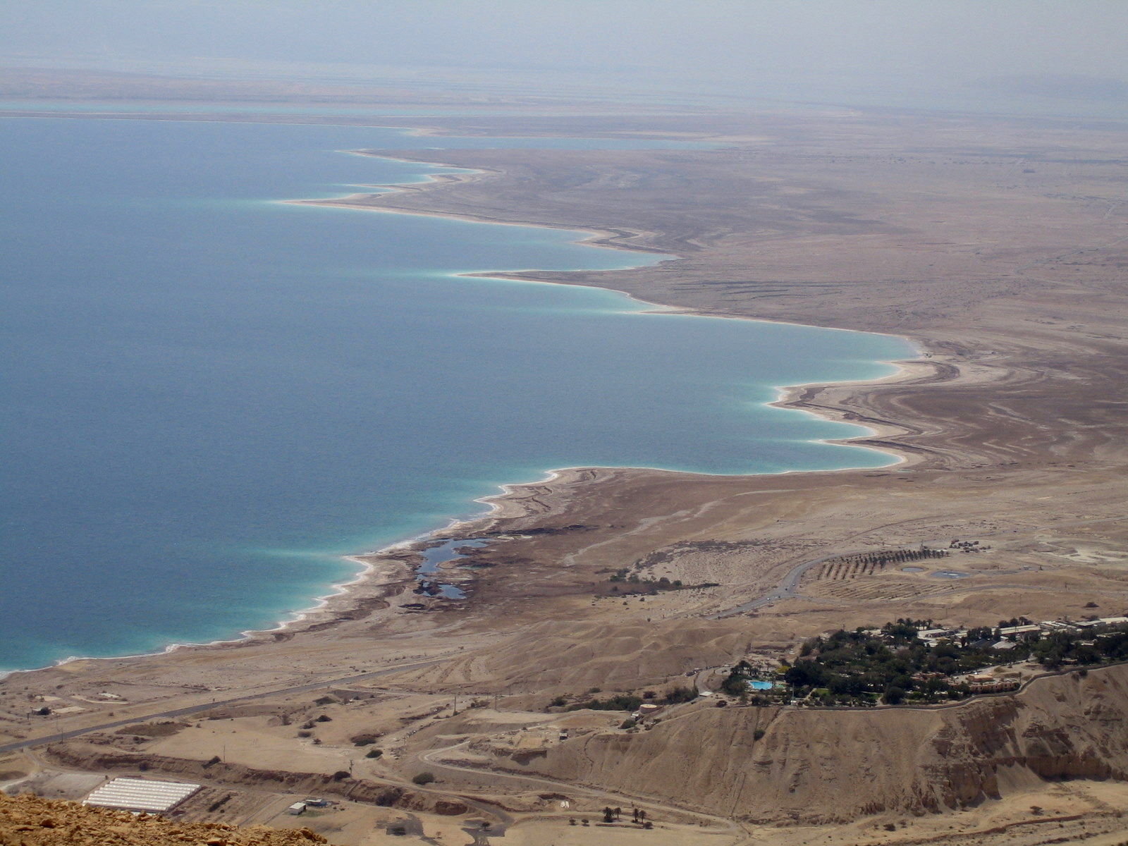 The Dead Sea from the top. Most of the flat areas in the background used to be covered by water. As the sea level drops, more and more land becomes exposed showing light brown salt crusts that are best visible along the coast line. In the lower right is the Kibutz En Gedi.
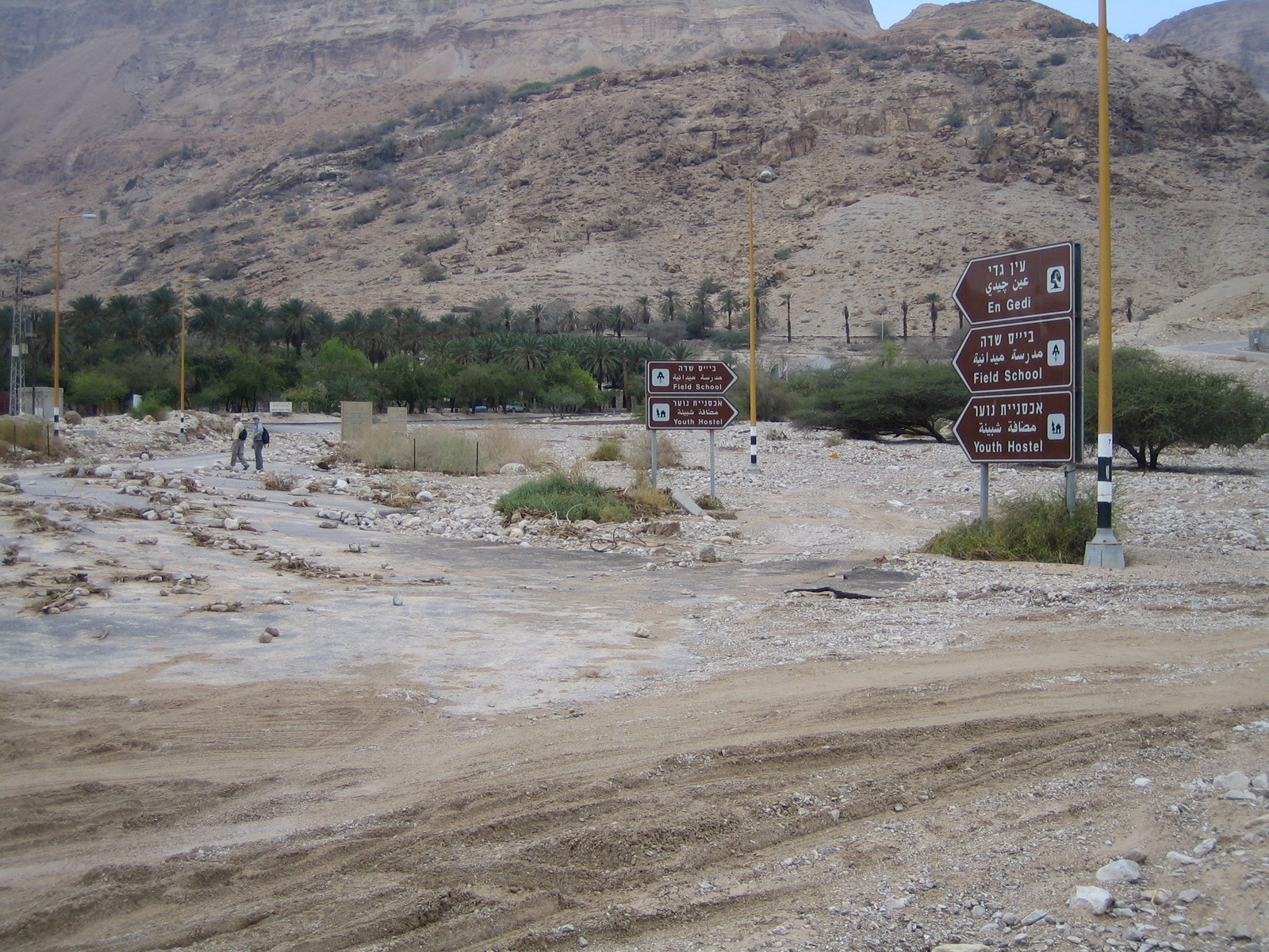
 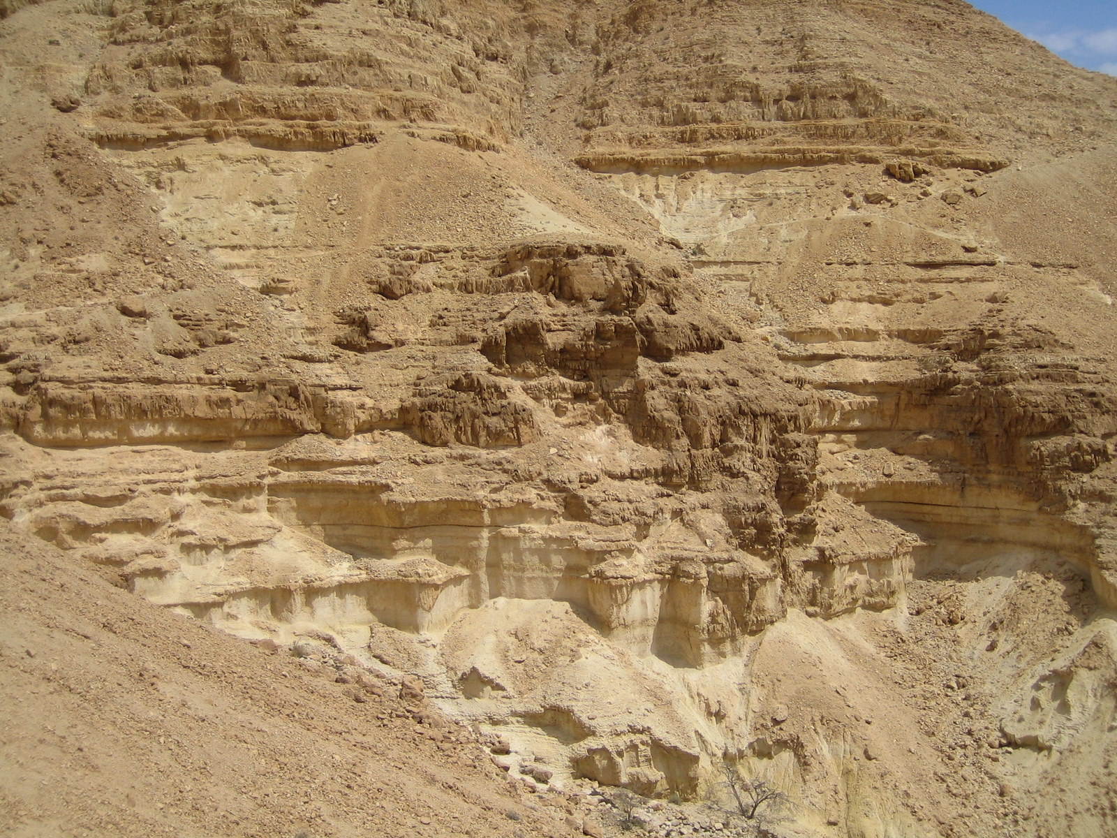 En gedi is in fact a small spring. It runs through the Wadi David and supplies the Kibutz with drinking and irrigation water.The rock formations around are predominantly sand stone showing strong erosive structures from wind and water.
 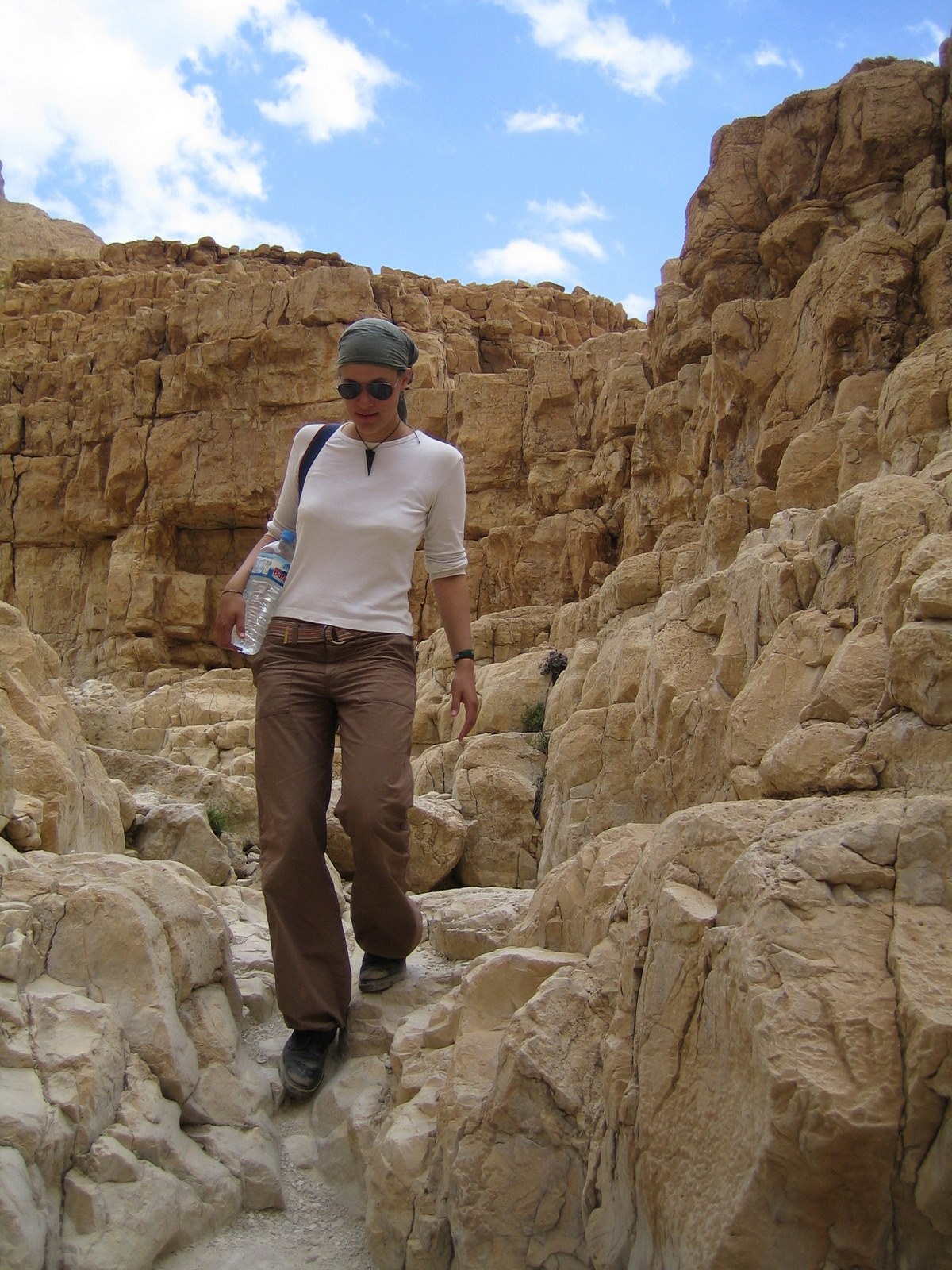 Descending the valley the geology shifts to a solid limestone formation. It is rich in phosphor and other minerals that are mined in the surrounding. The phosphor is used to produce fertilizer for the expanding agricultural efforts in the Negev desert South of the Dead Sea.
  Fresh water from the En gedi spring. It tastes better as it looks here.
 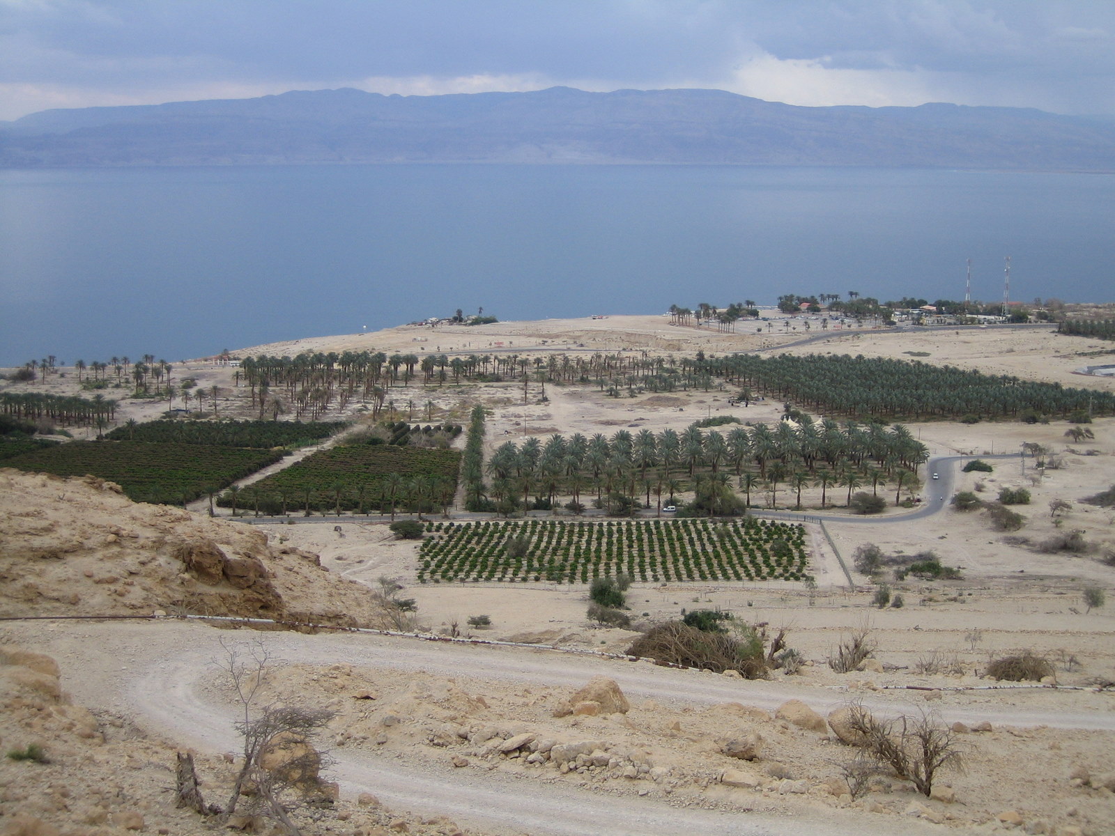 Cultivation of barren soil enabled with spring water irrigation.
 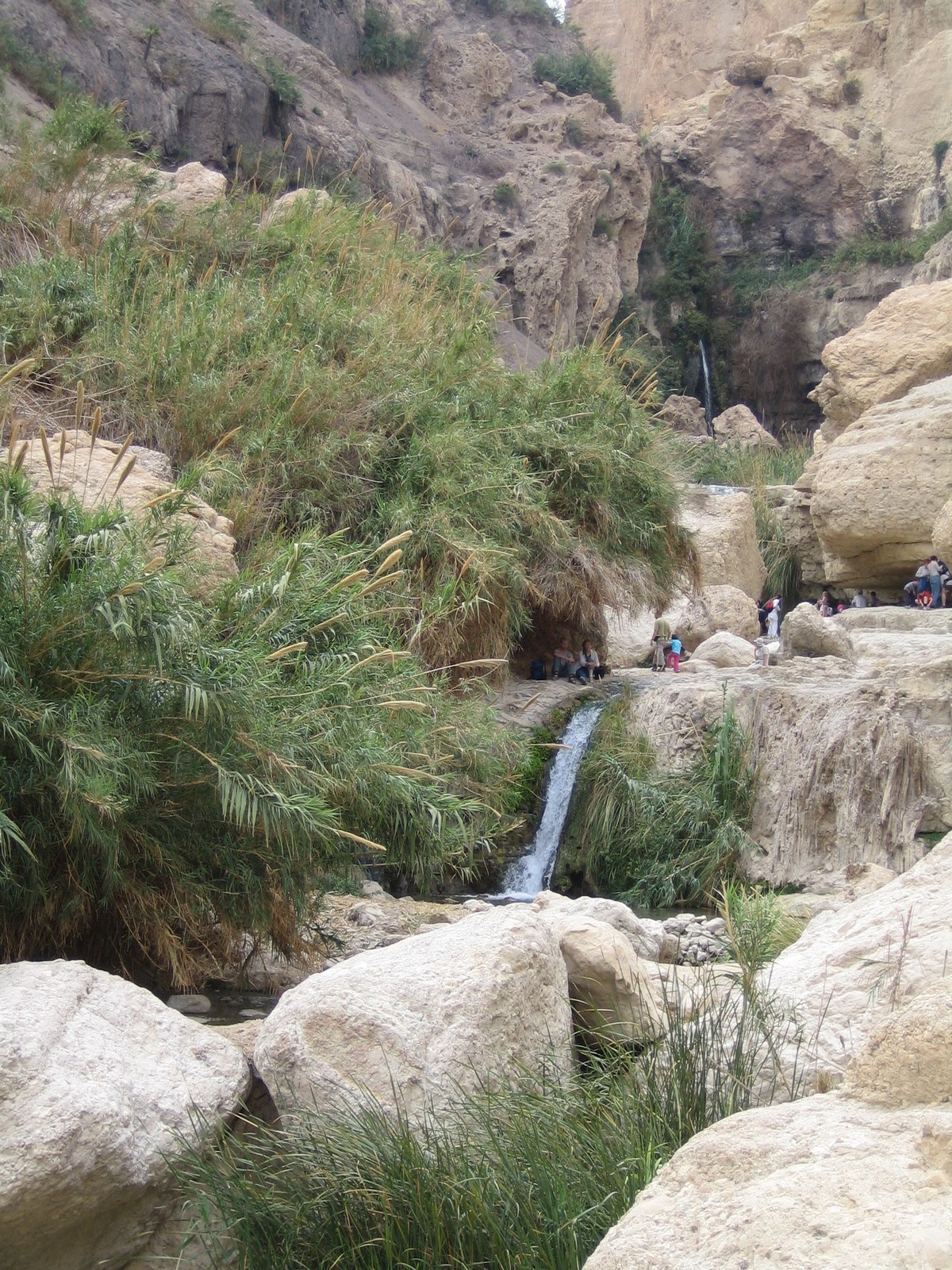 A green oasis along the Wadi David.
 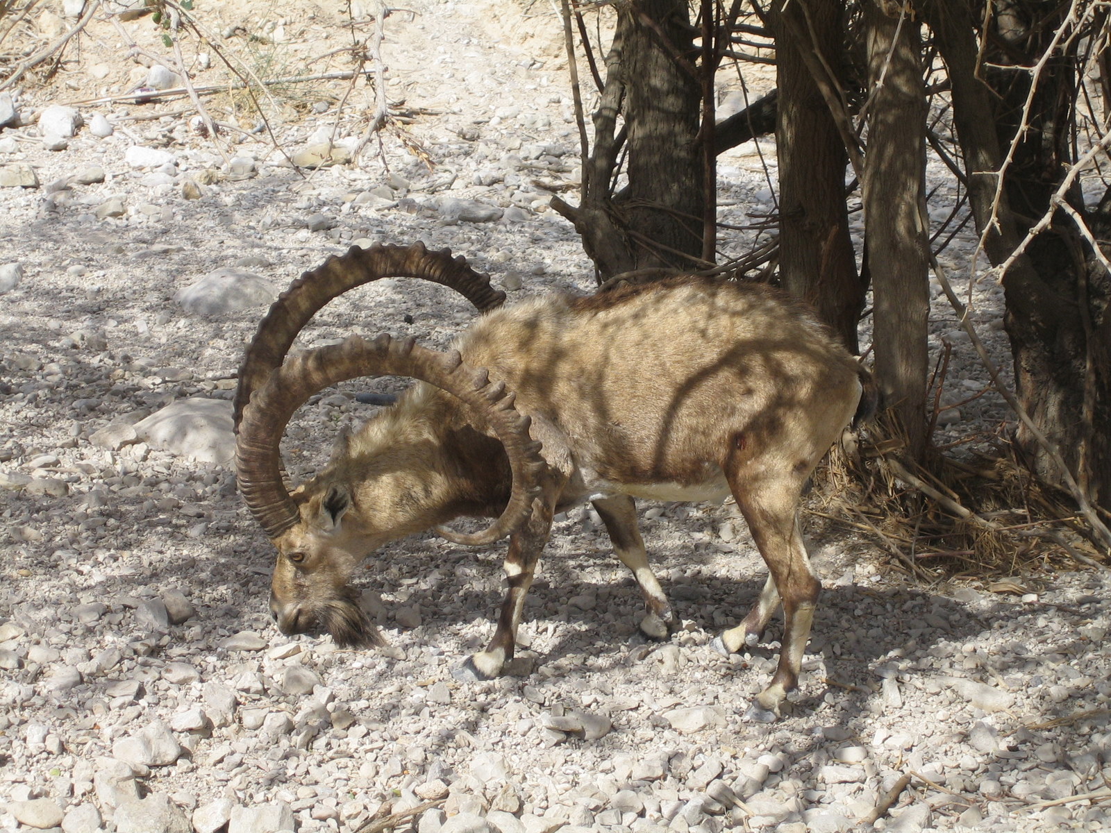 Water always attracts living species. Plants, animals and (unfortunately) human beings.
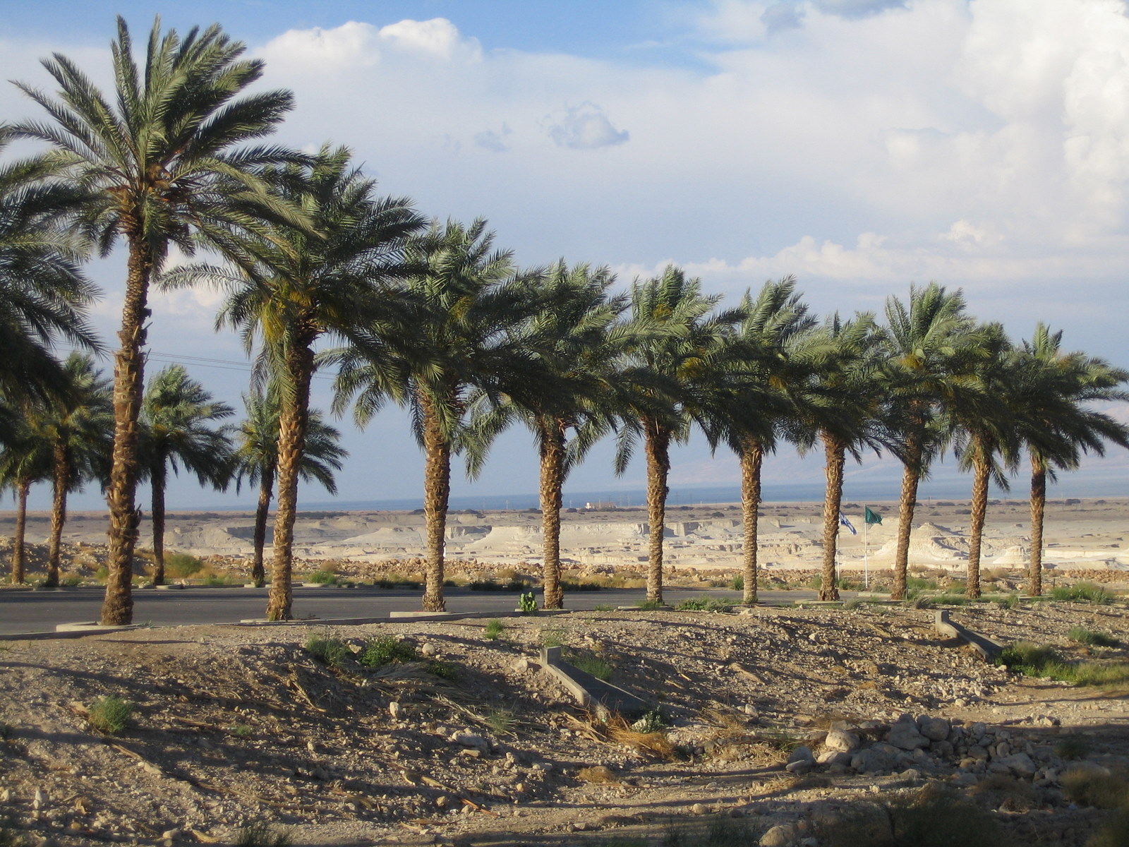
 At those locations where the water retreated, the salty soils leave unusable areas. There are plenty of sinkholes that evolve when fresh water dissolves the salt in the ground. An irregular and erosive crater landscape is what is left behind.
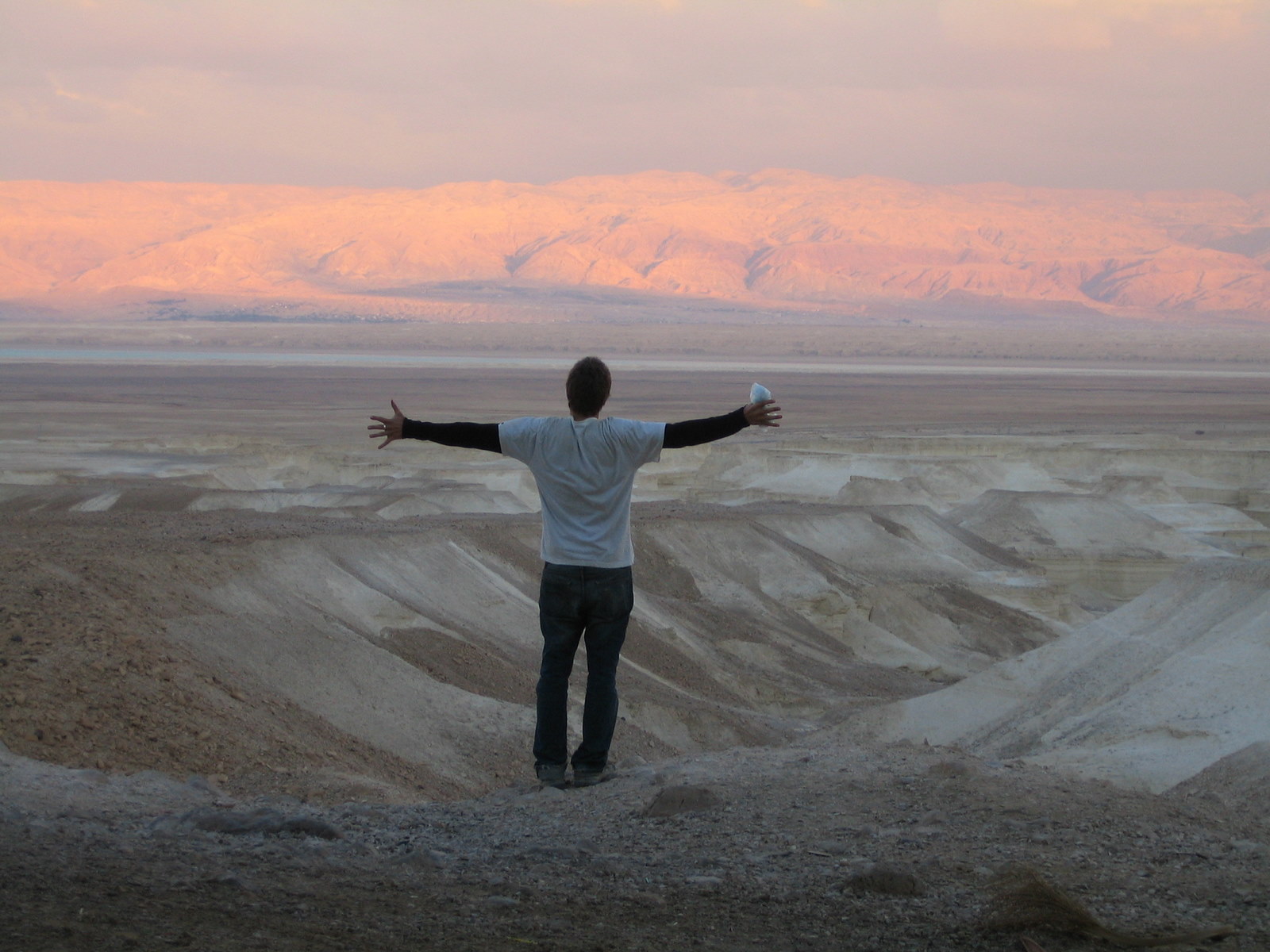
 Floodings occur regularly. The dry soil cannot take large amounts of rain water and most water generates surface runoff. The water from the highlands accumulates and drains in narrow canyons towards the Dead Sea. In most cases the events are short and high-energy, flooding the coastal roads and leaving masses of eroded material.
 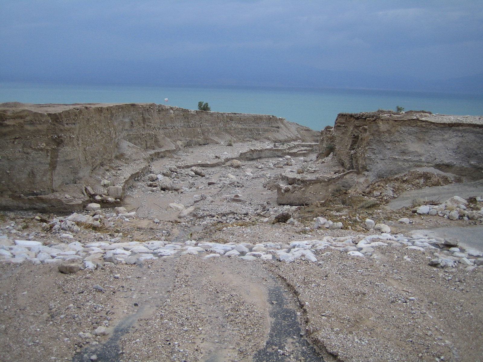 Even erosion lanes are cut into the sandy and gravelly soils.
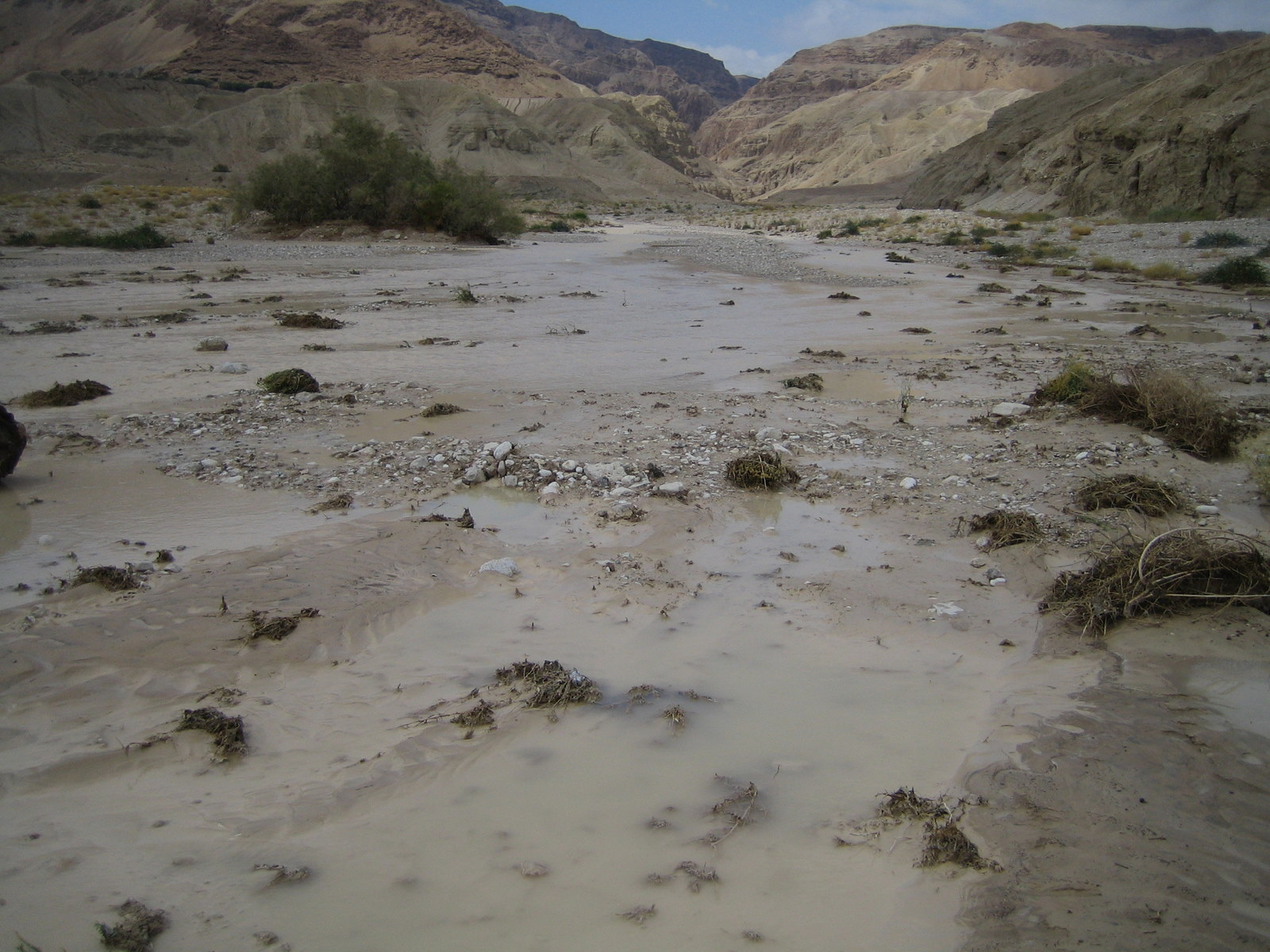
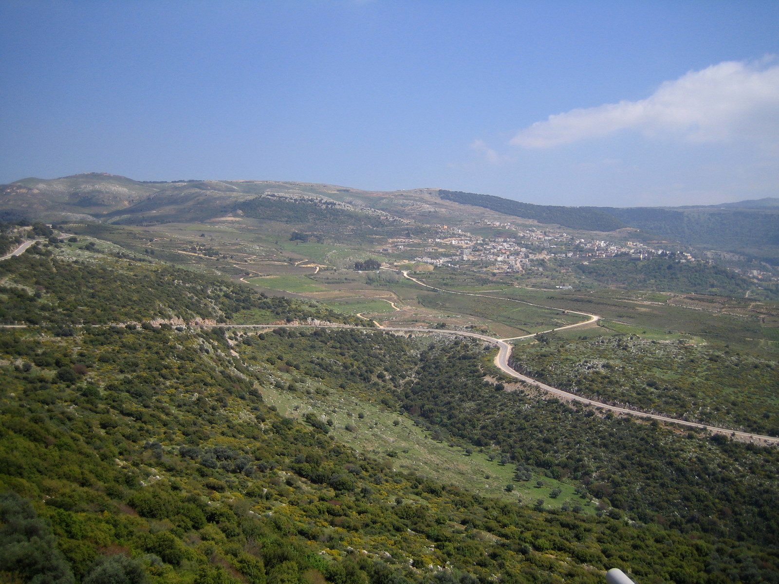 The greenest part of Israel. The Golan Heights that were taken from Syria during the six-Day war 1967 and stayed occuppied ever since. This is a view from Mount Hermon which is with 2810m the highest peak of Israel. The entire mountain is Israeli military zone as it is a geostrategic point that marks the border to Syria and Lebanon.
 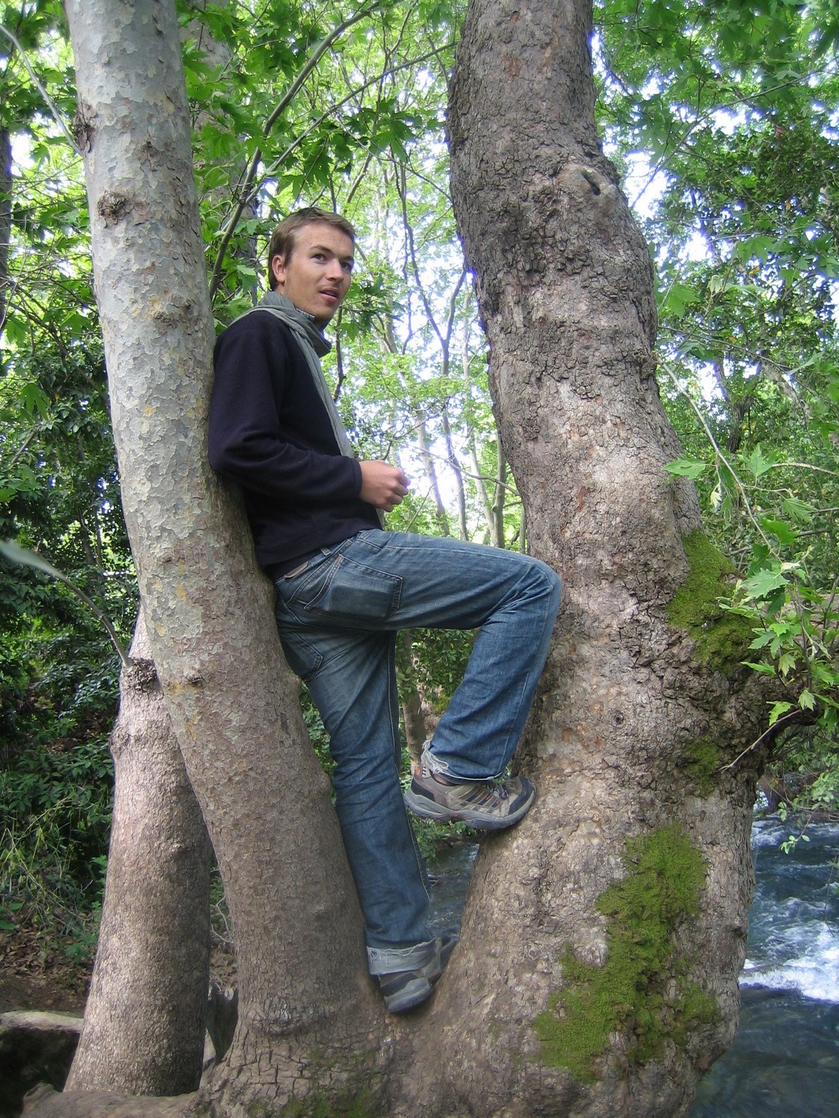 The Banias River is one of two major and two minor tributaries that later merge and feed the Jordan river that flows into the Kinneret and eventually drains into the Dead Sea.
 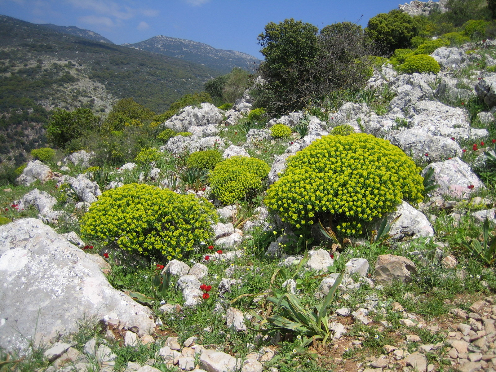 Hiking in a military zone. Beautiful, nonetheless.
 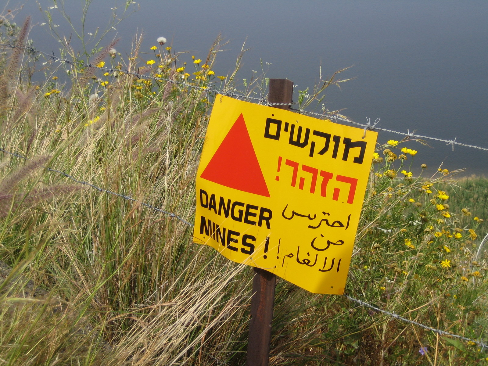 Some of the areas were mined during and after the Six-Day war and the fields are still not completely evacuated.
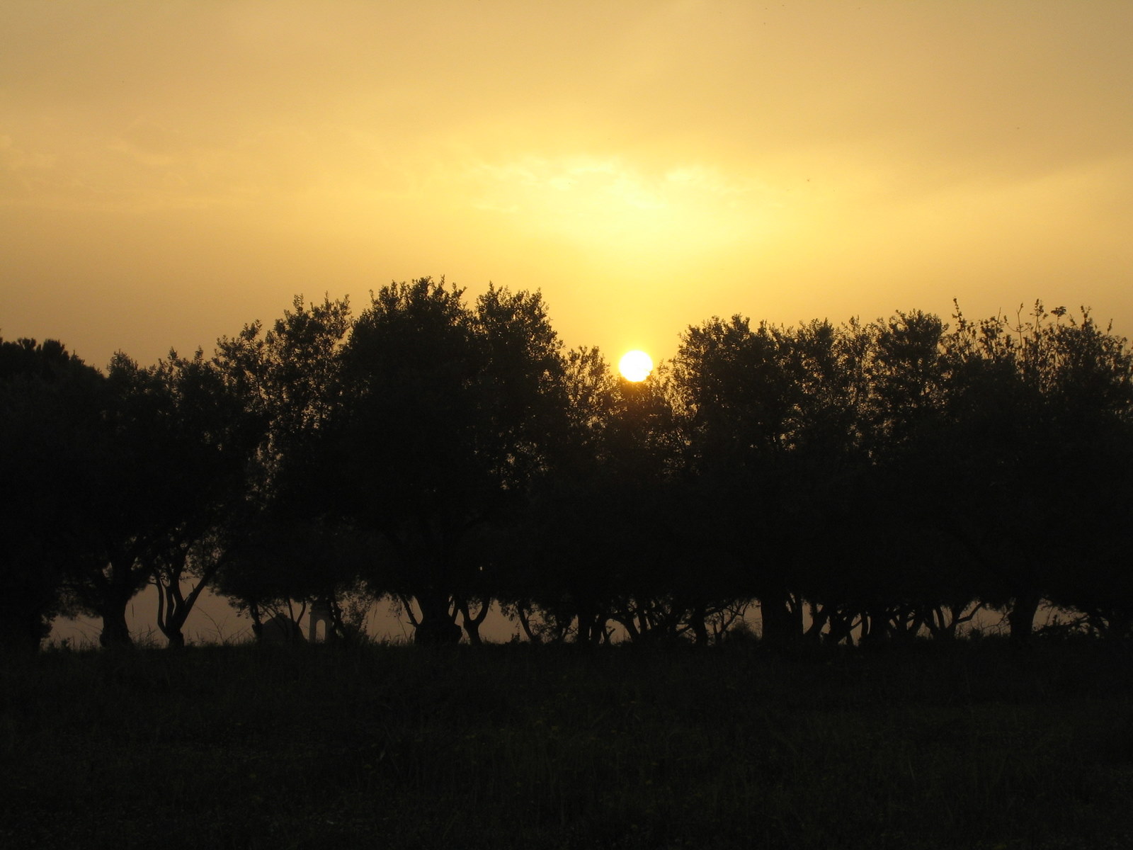
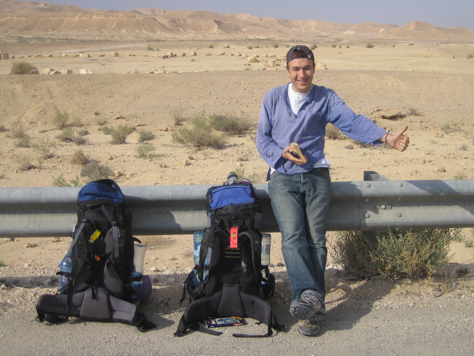
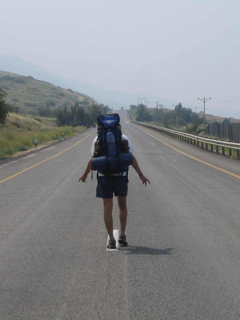 Hitch-hiking back to Jerusalem..with moderate success.
 next