ANNAPURNA CIRCUIT: START TO MANANG
 Starting the hike at the second camp in Ghermu at 1100m.
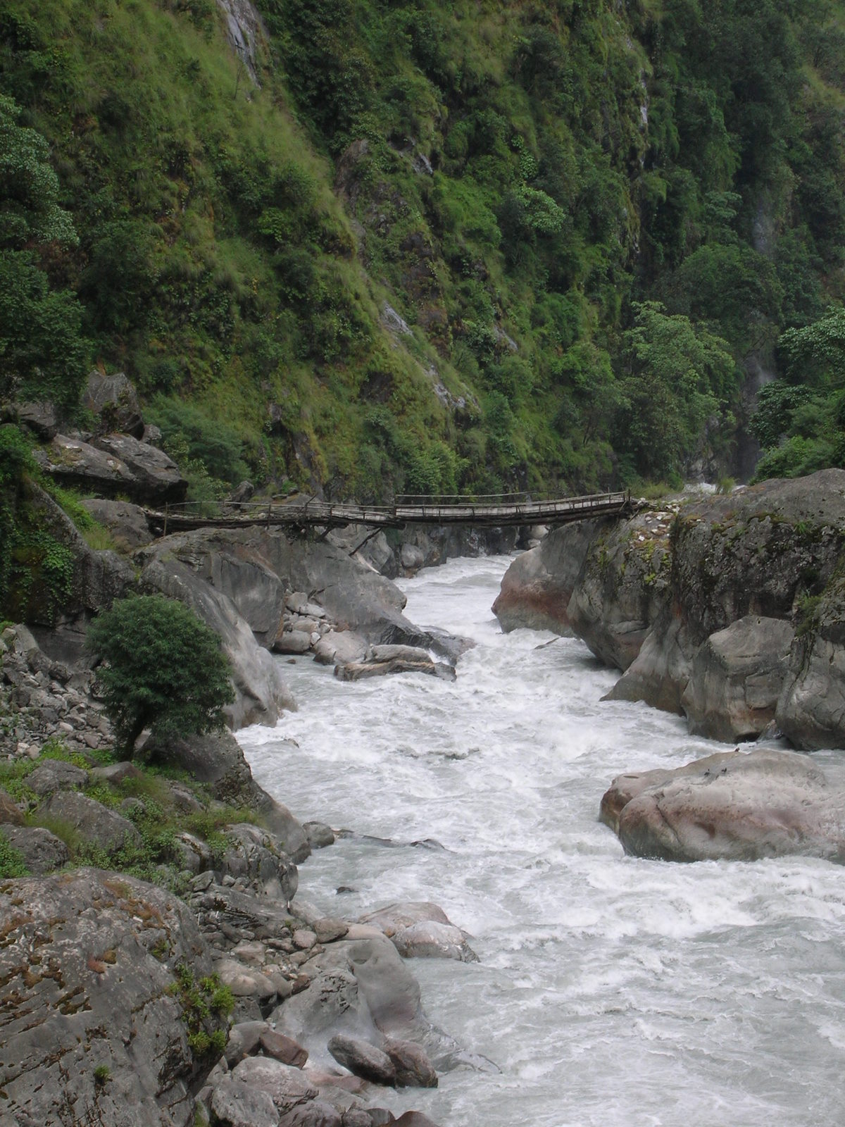
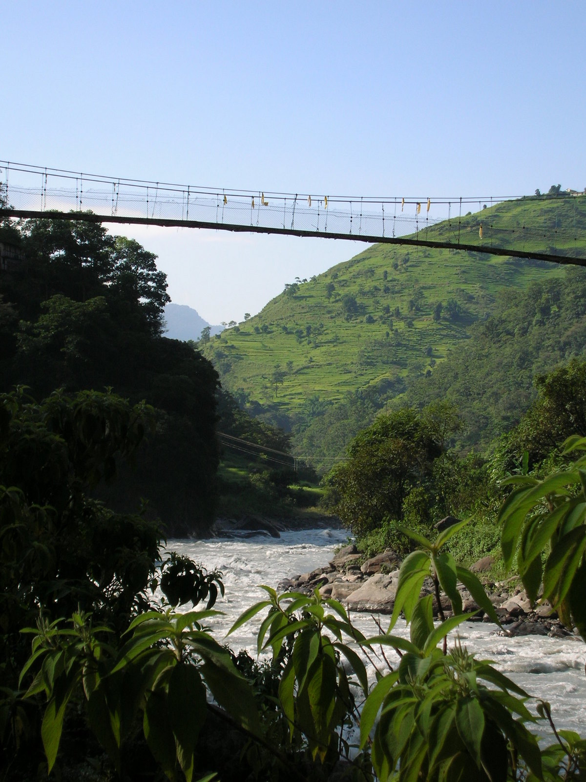 The path once runs along the left side of the river, then changes to the other depending on the steepness of the slopes. Suspension bridges facilitate the crossings.
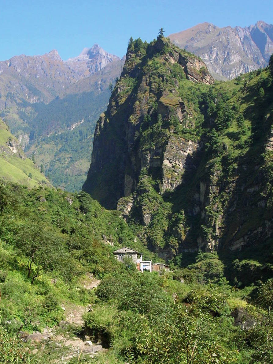
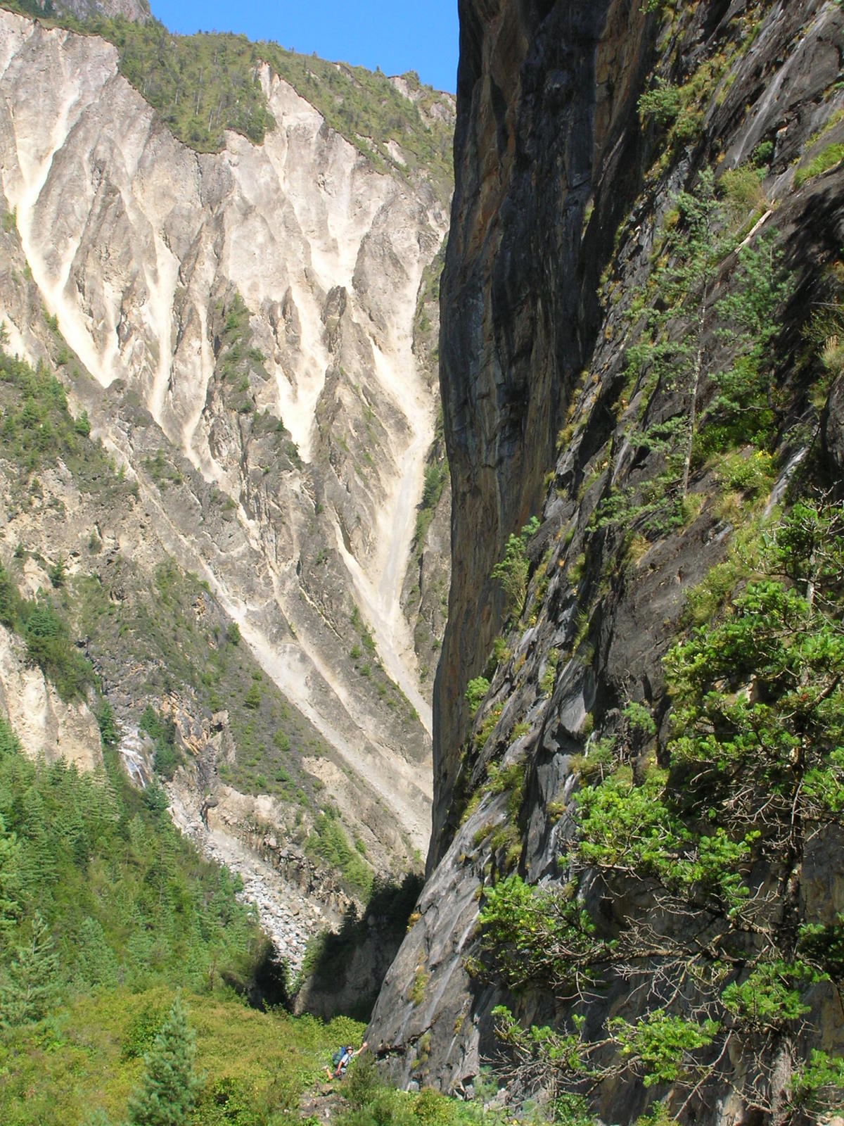 Vertical walls in the narrow river valley. The path was literally carved in stone.
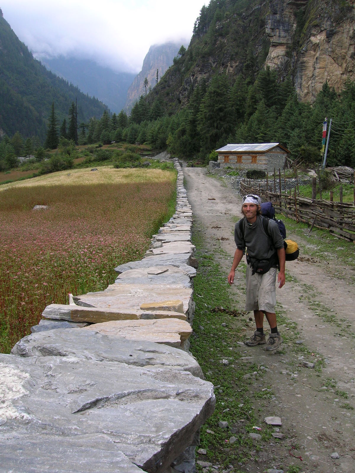
 Some bridges were in better shape, some in worse.
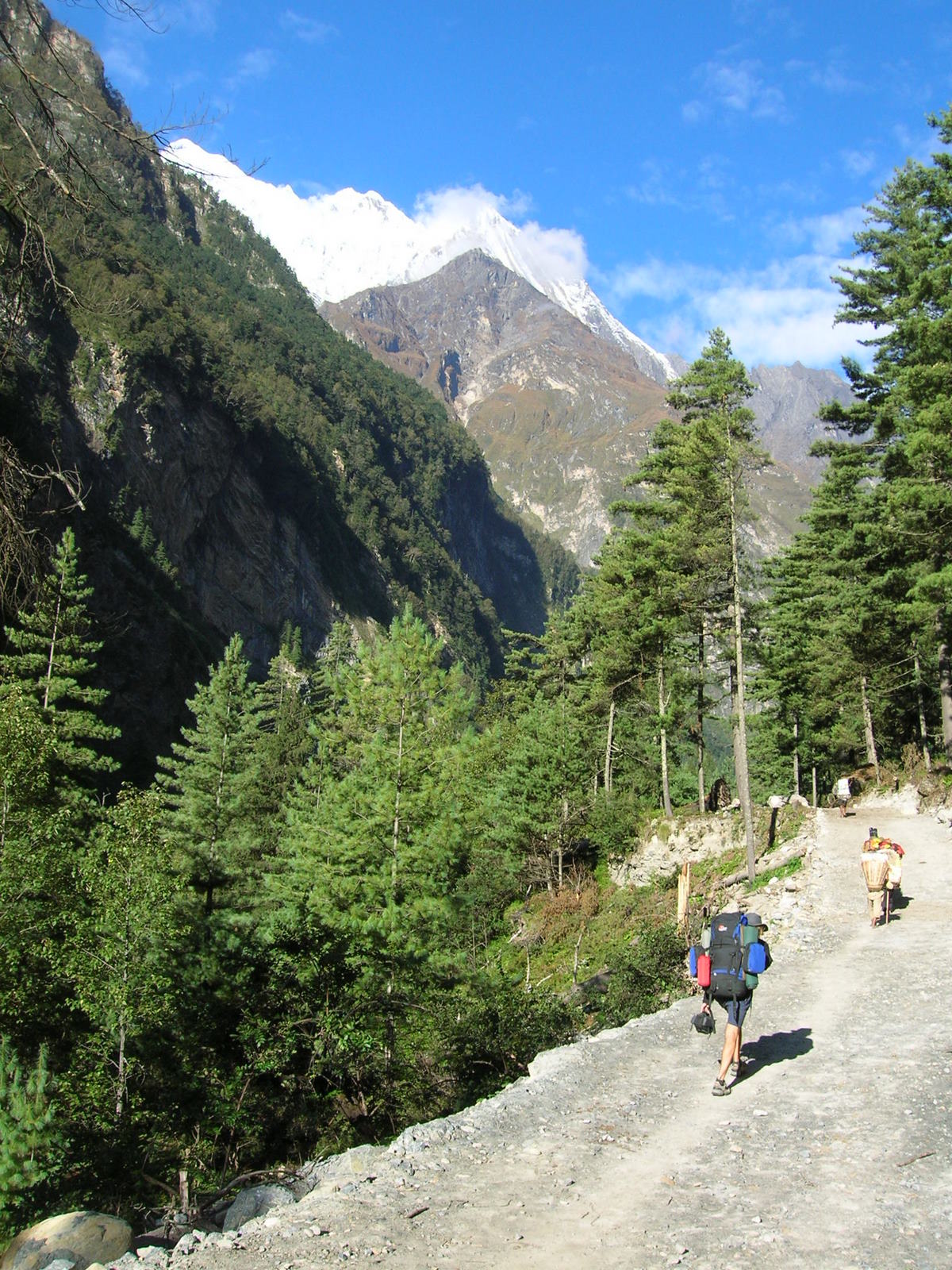
 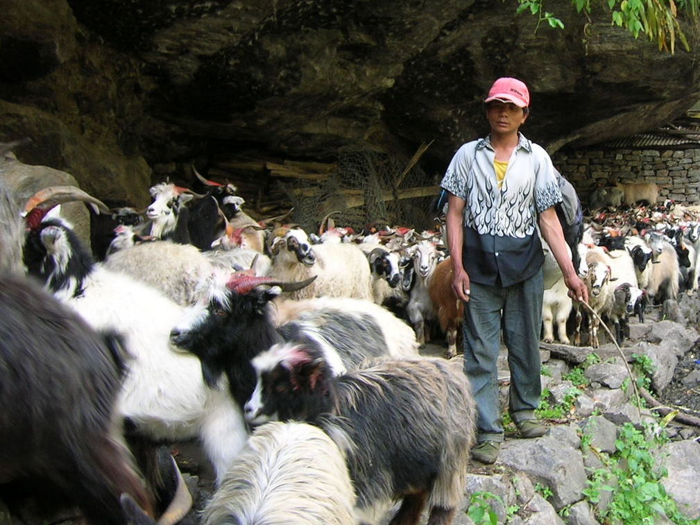 As the hiking path is the one and only access, all kinds of transport caravans travel on the narrow trails. Here an entire goat herd.
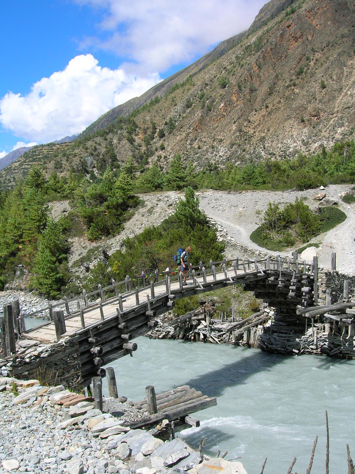
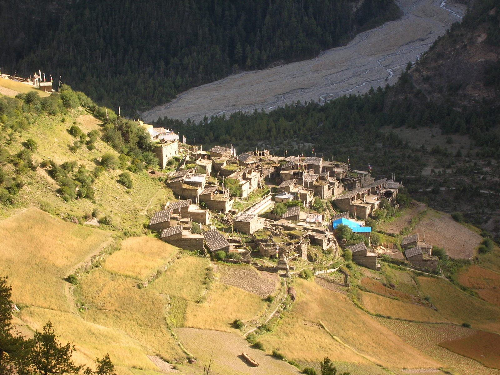 In Pisang we left the main path and chose a route to pass a small glacier field in one of the Northern oriented side valleys. Here the little mountain village Upper Pisang.
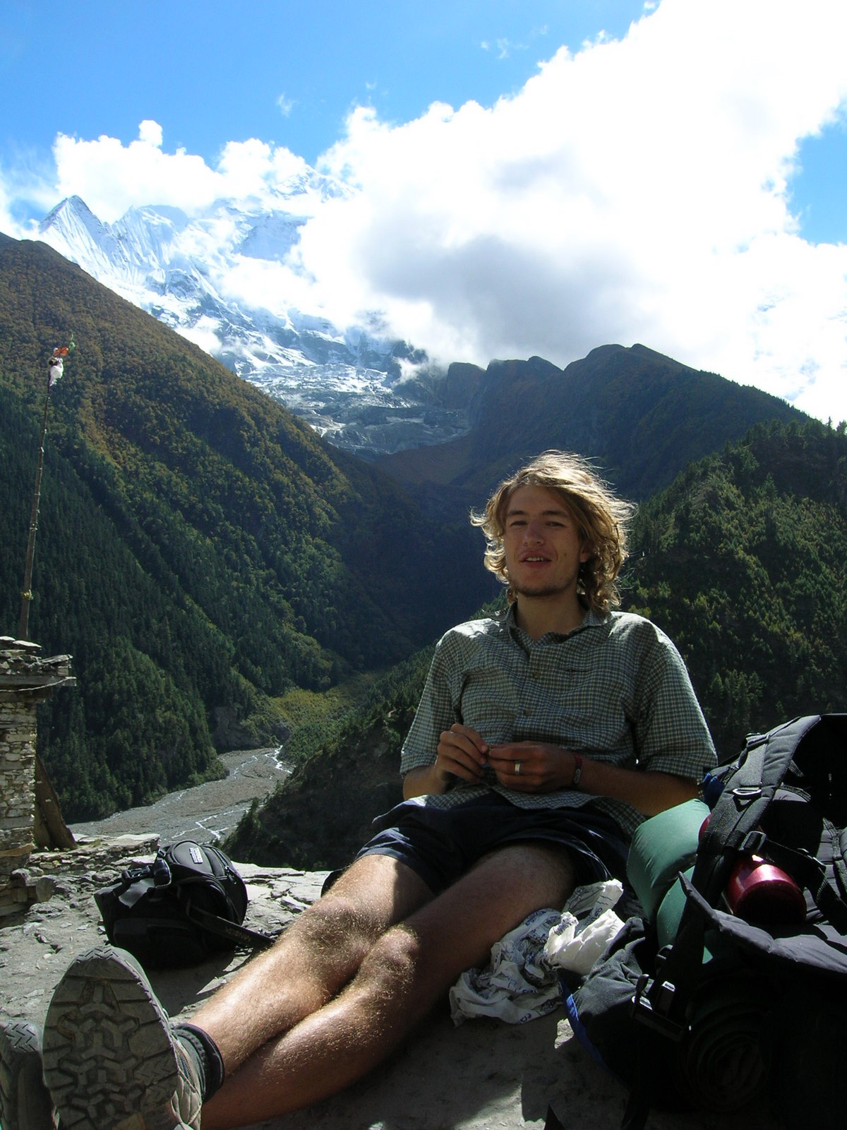
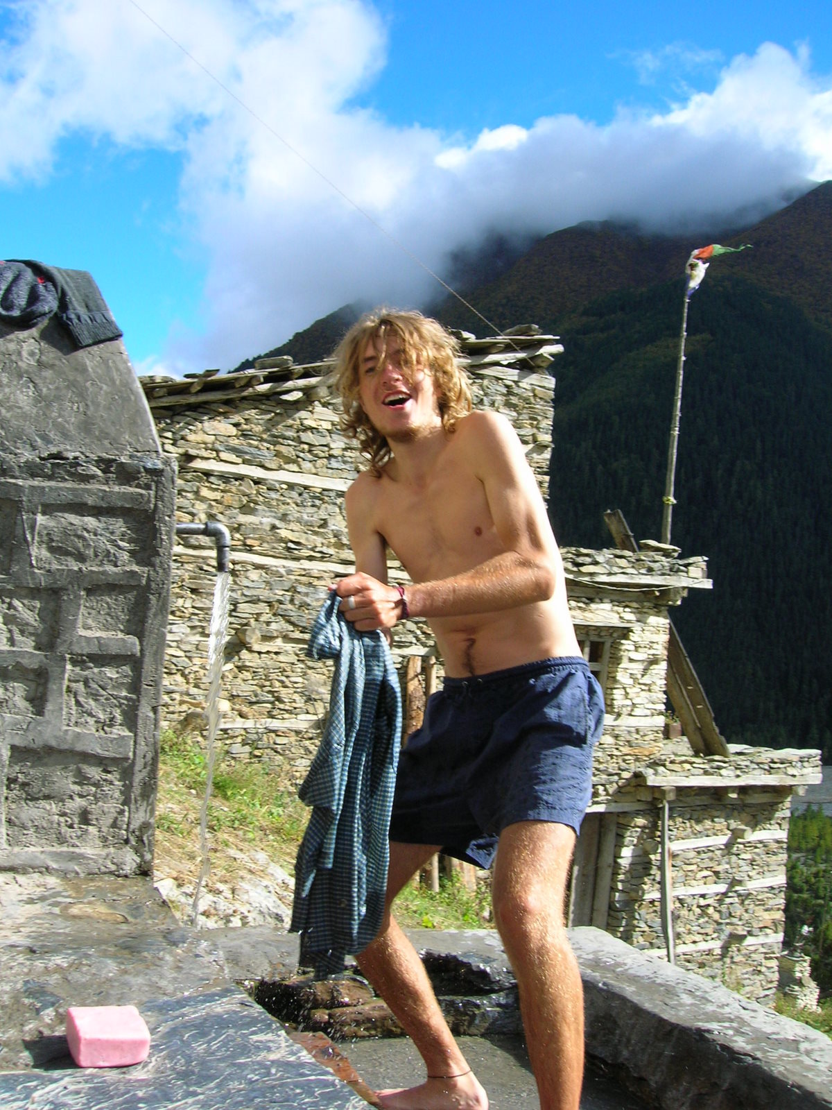 Washing clothes had to be as there was only enough space for one set of clothing. Our backpacks were basically filled with food that was meant to last for 20 days hiking.
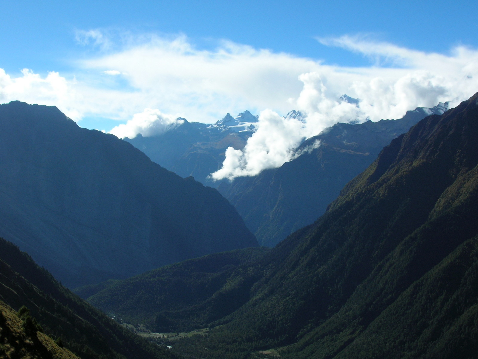
 View in Northwestern direction towards Manang.
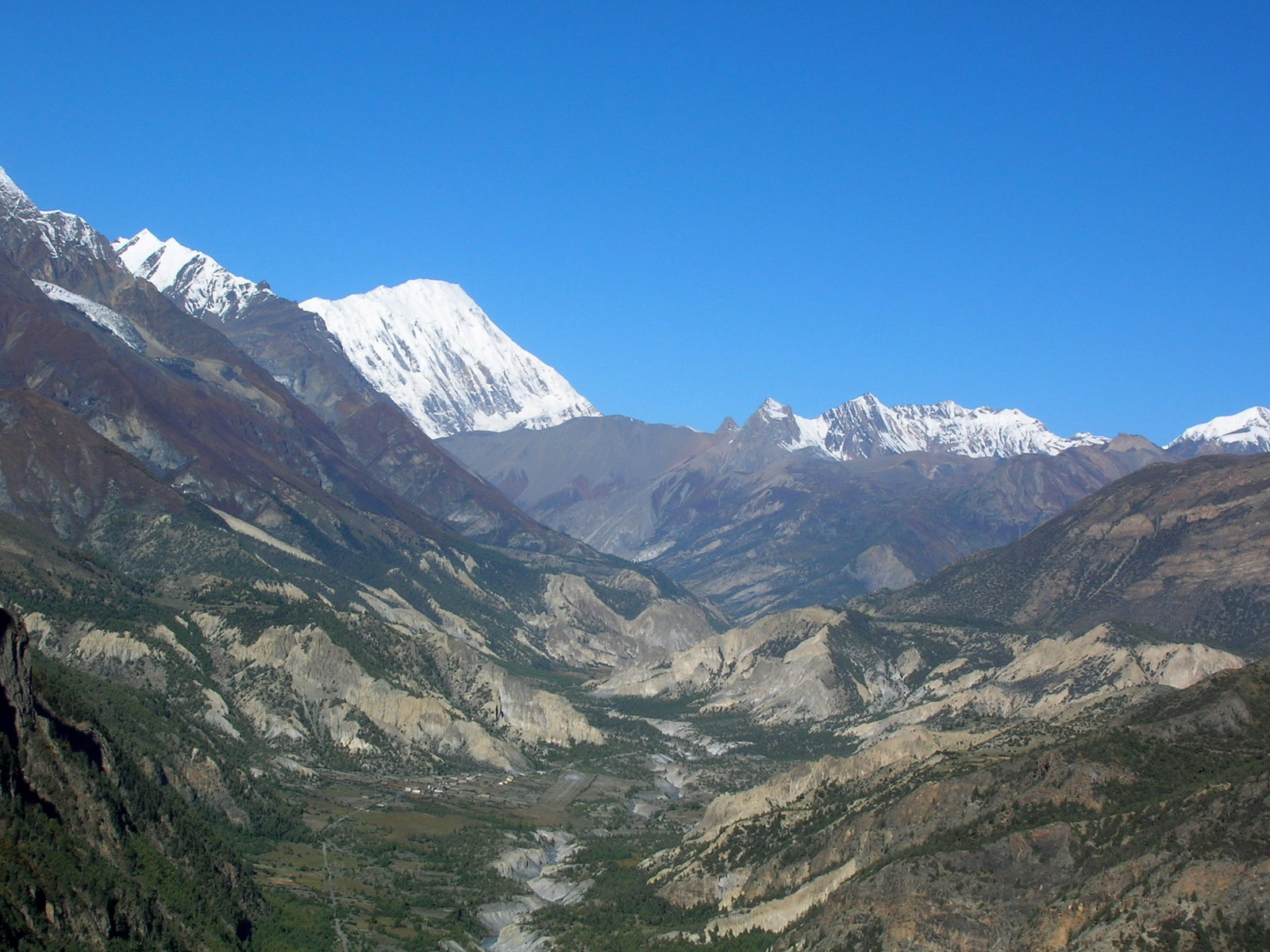
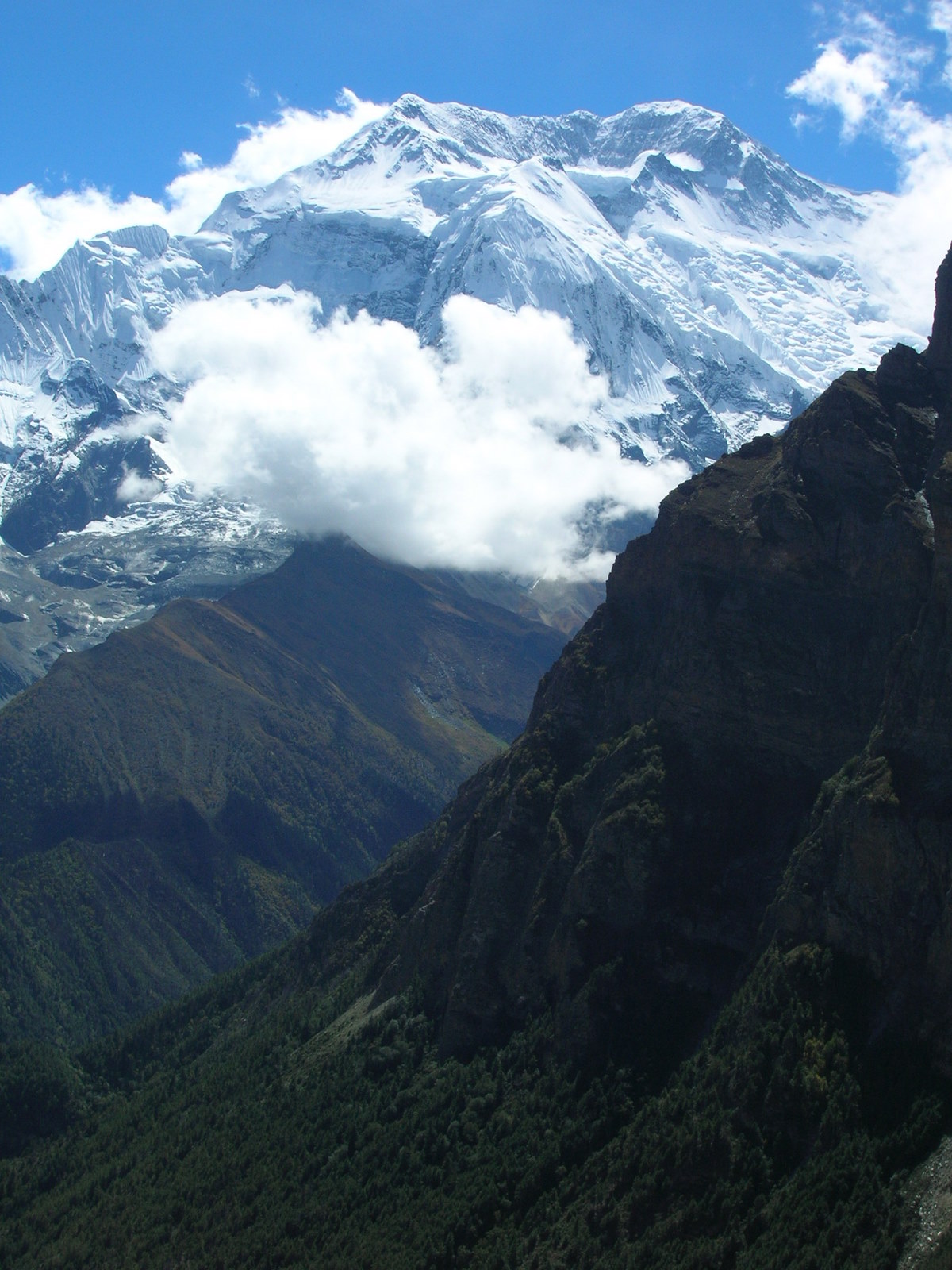
 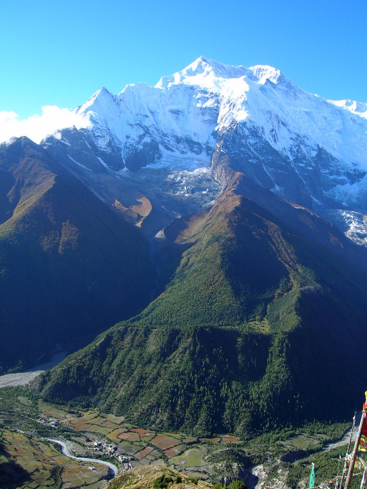 This shows the enrire profile of the Annapurna II from the bottom of the valley at 3200m to the peak with 7940m. Only the bottom is used for agriculture. The slopes are covered by cornifere forests eventually leading into the non-vegetated areas and into the glacier fields.
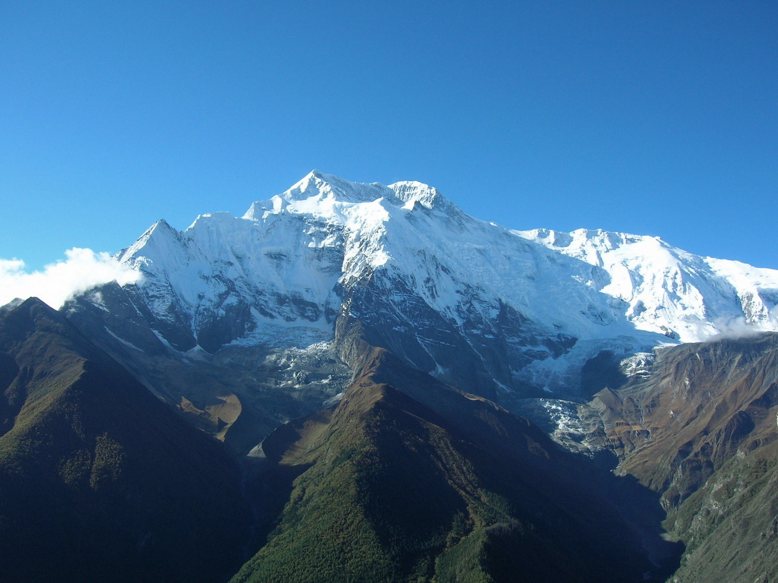 Annapurna II, and IV located a little to the right.
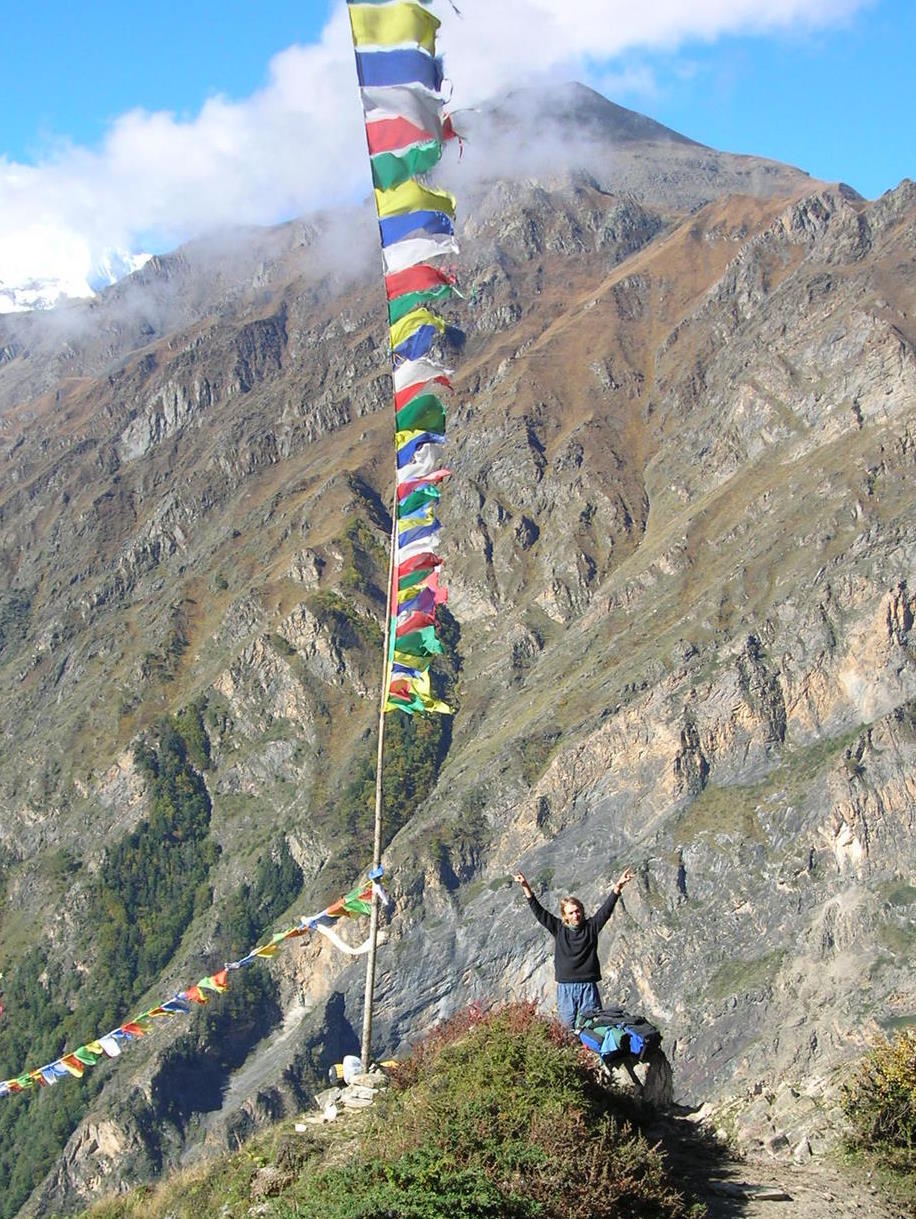 Prayer flags can be found on all peaks, traverses, house roofs, etc. The reason is that the winds are carrying the prayers and therefore the flags are put on elevated and exposed spots.
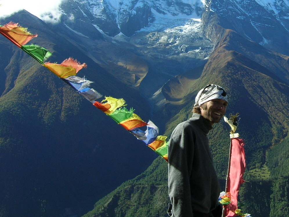
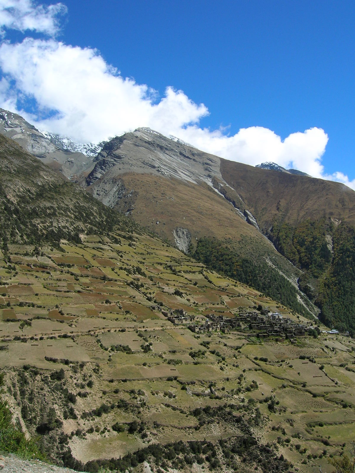
 People living in the area make incredible efforts to use the steep slopes for cultivation. It is mainly barley that of course is done all by hand.
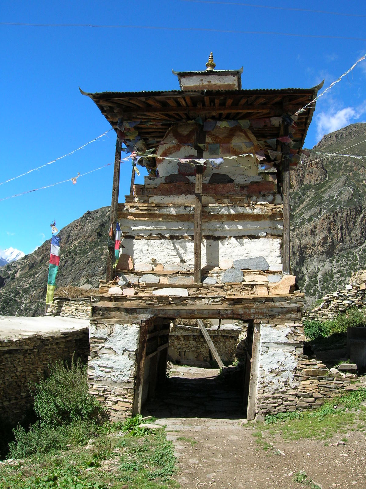
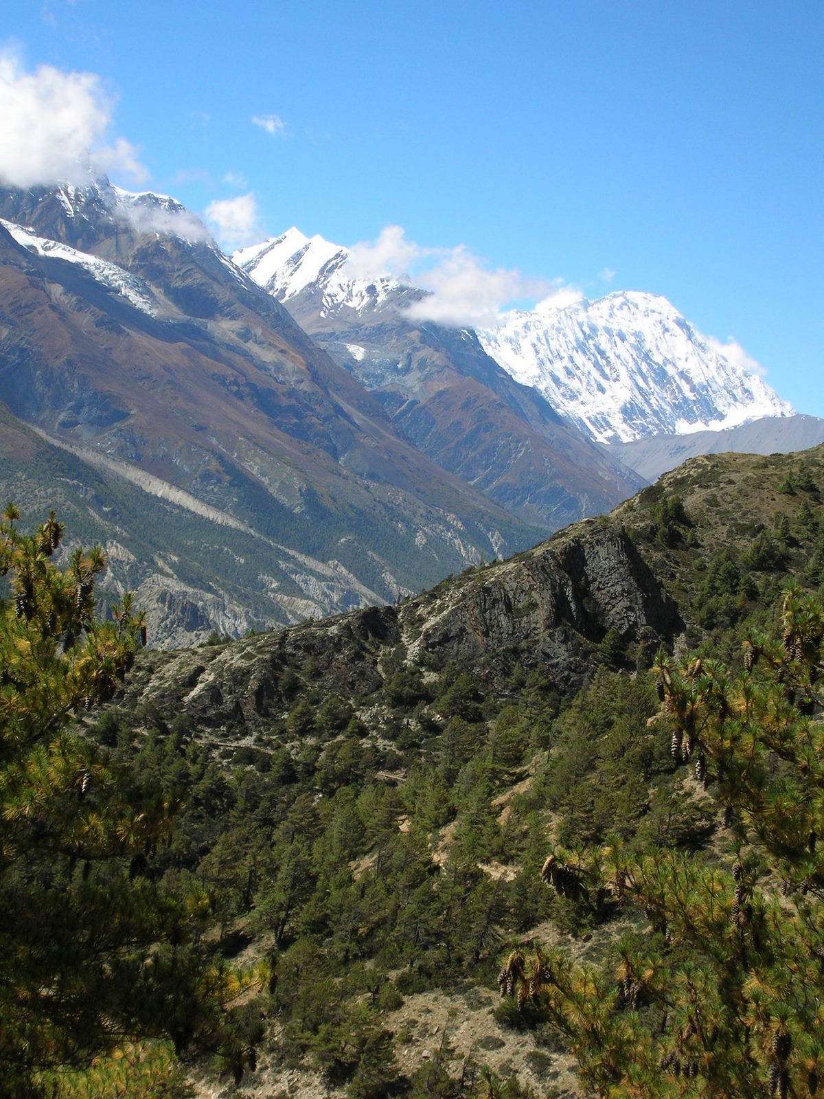 At the base of the snow-covered wall in the background our route will pass the Tilicho lake at 4900m.
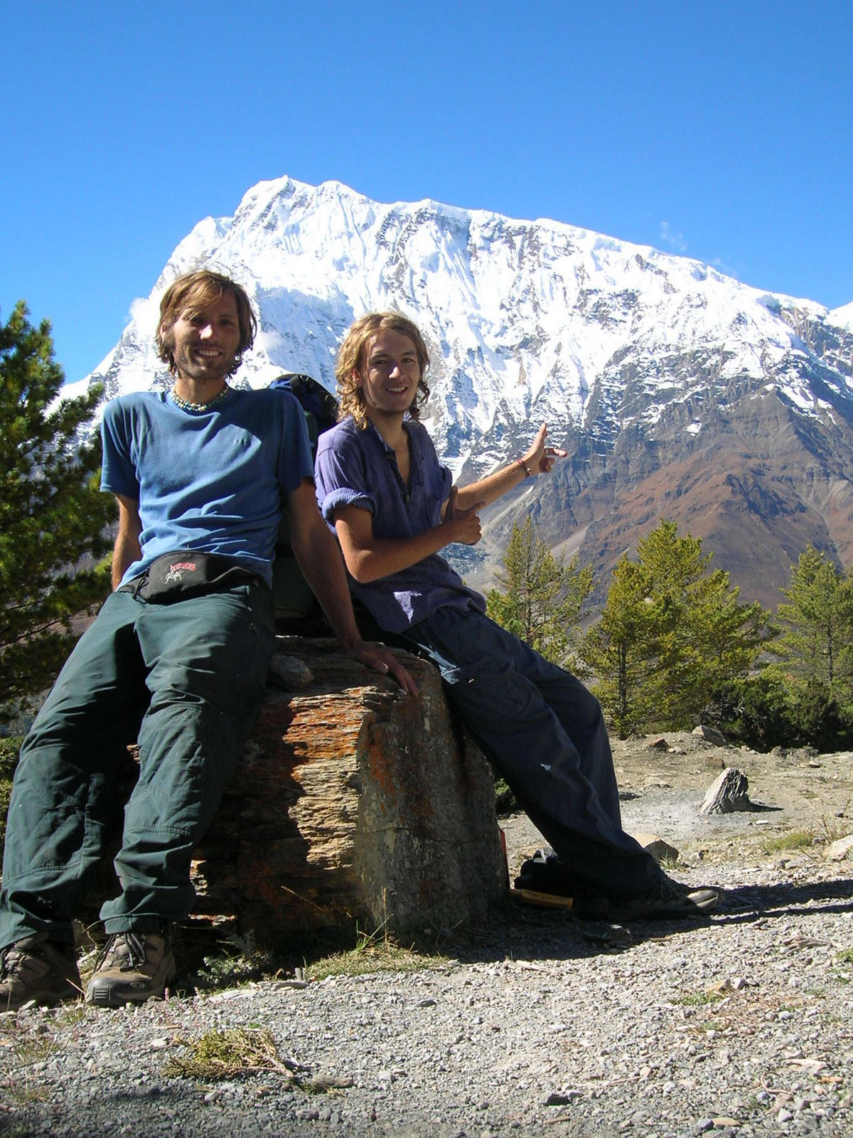
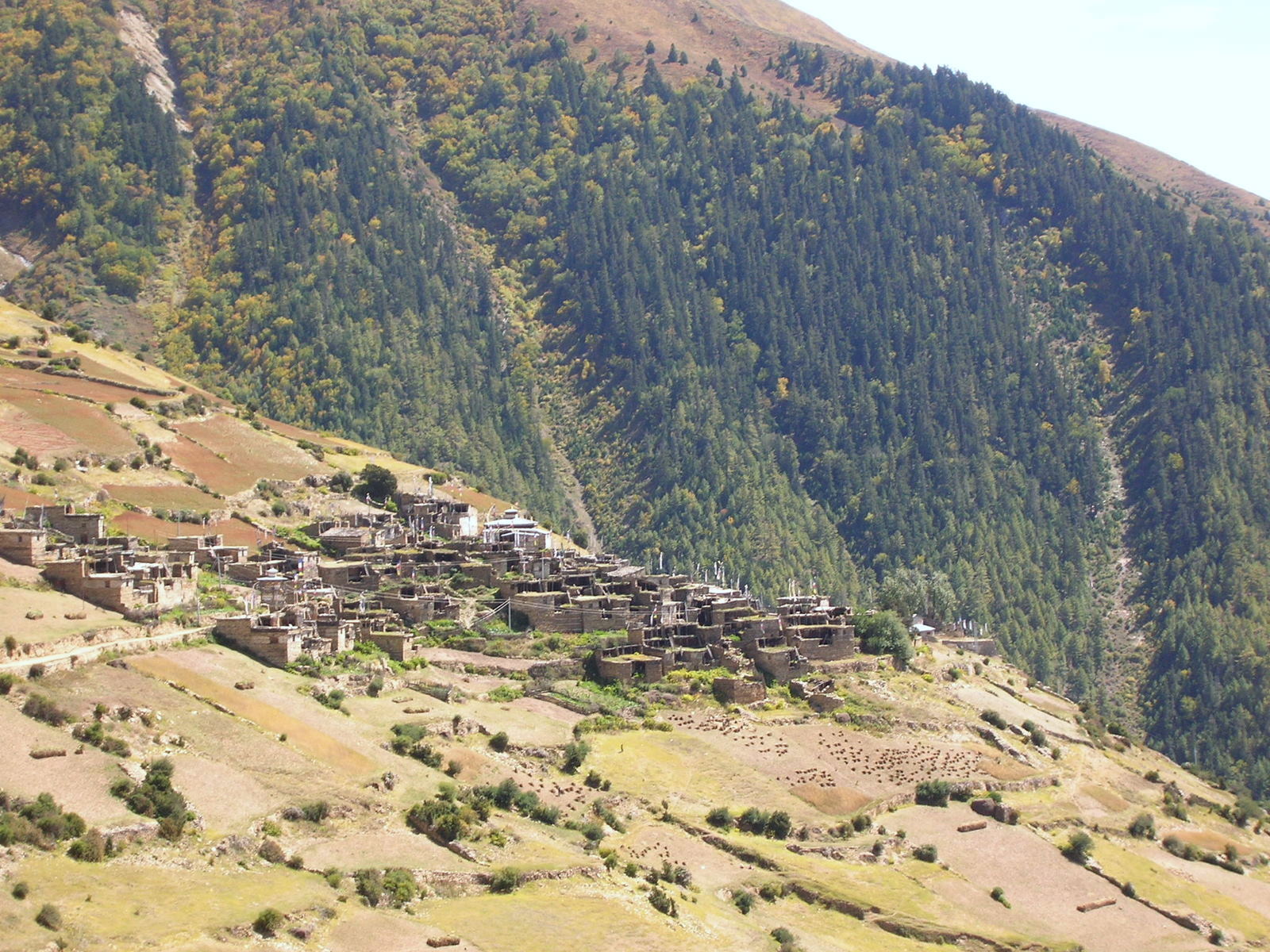
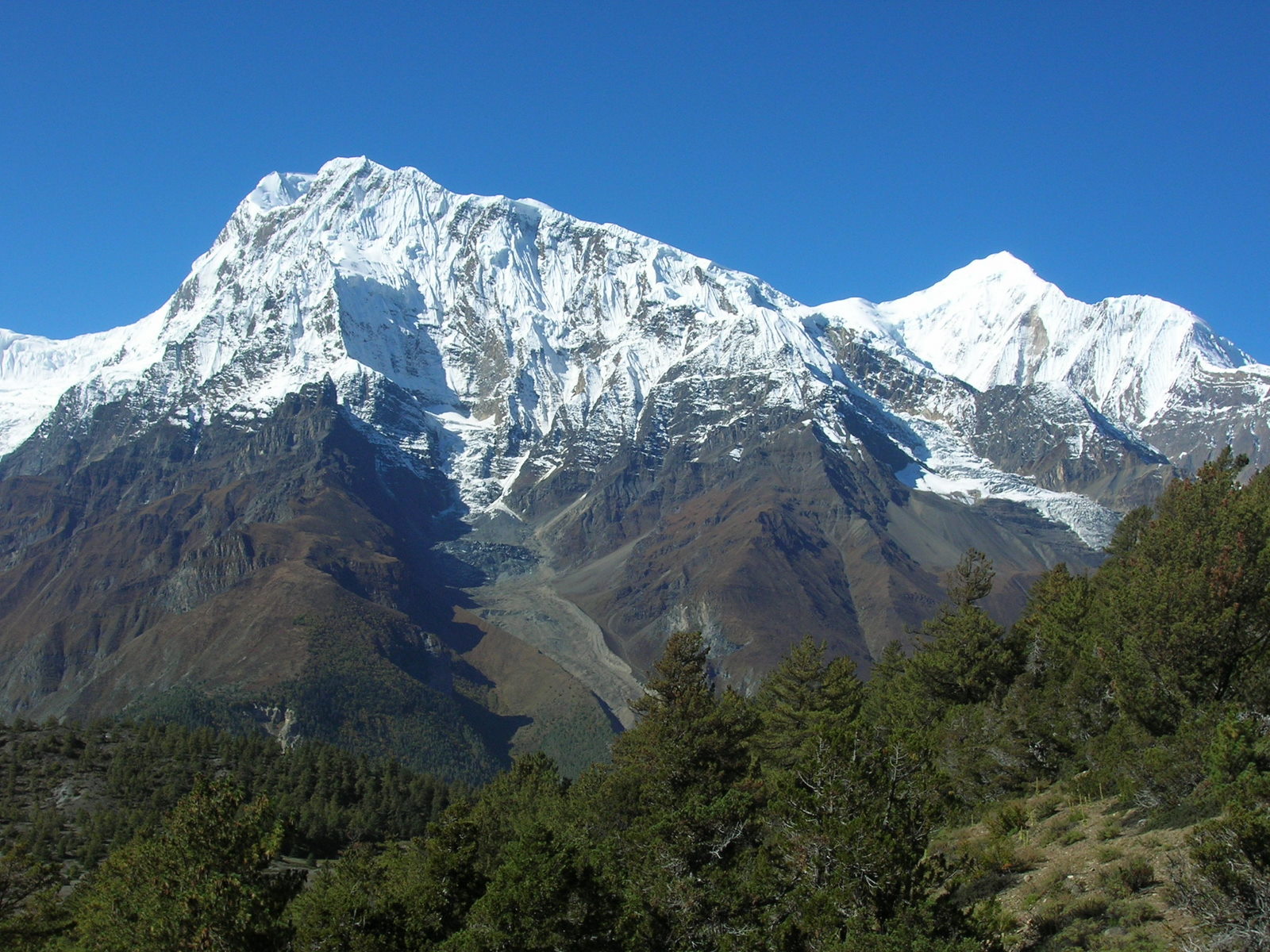 A secondary to the Annapurna III (7560m).
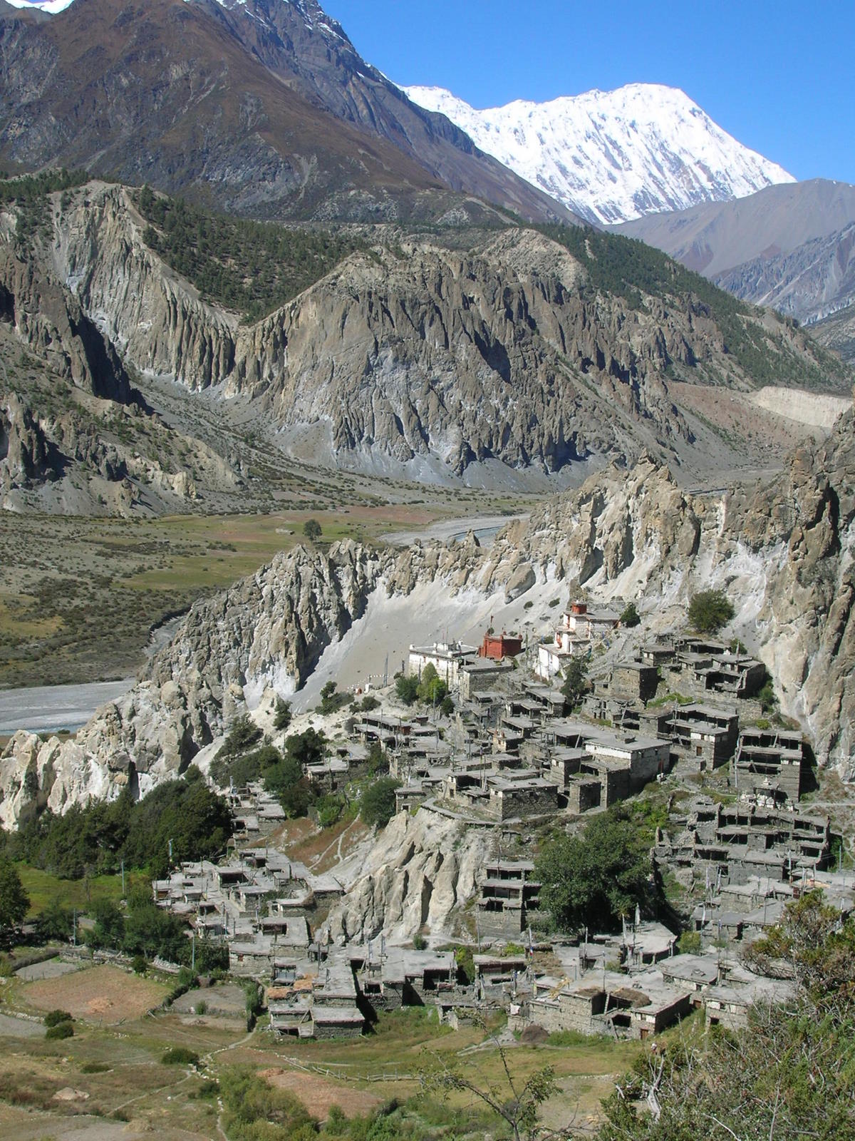 The little village of Braga, an entire stone built village.
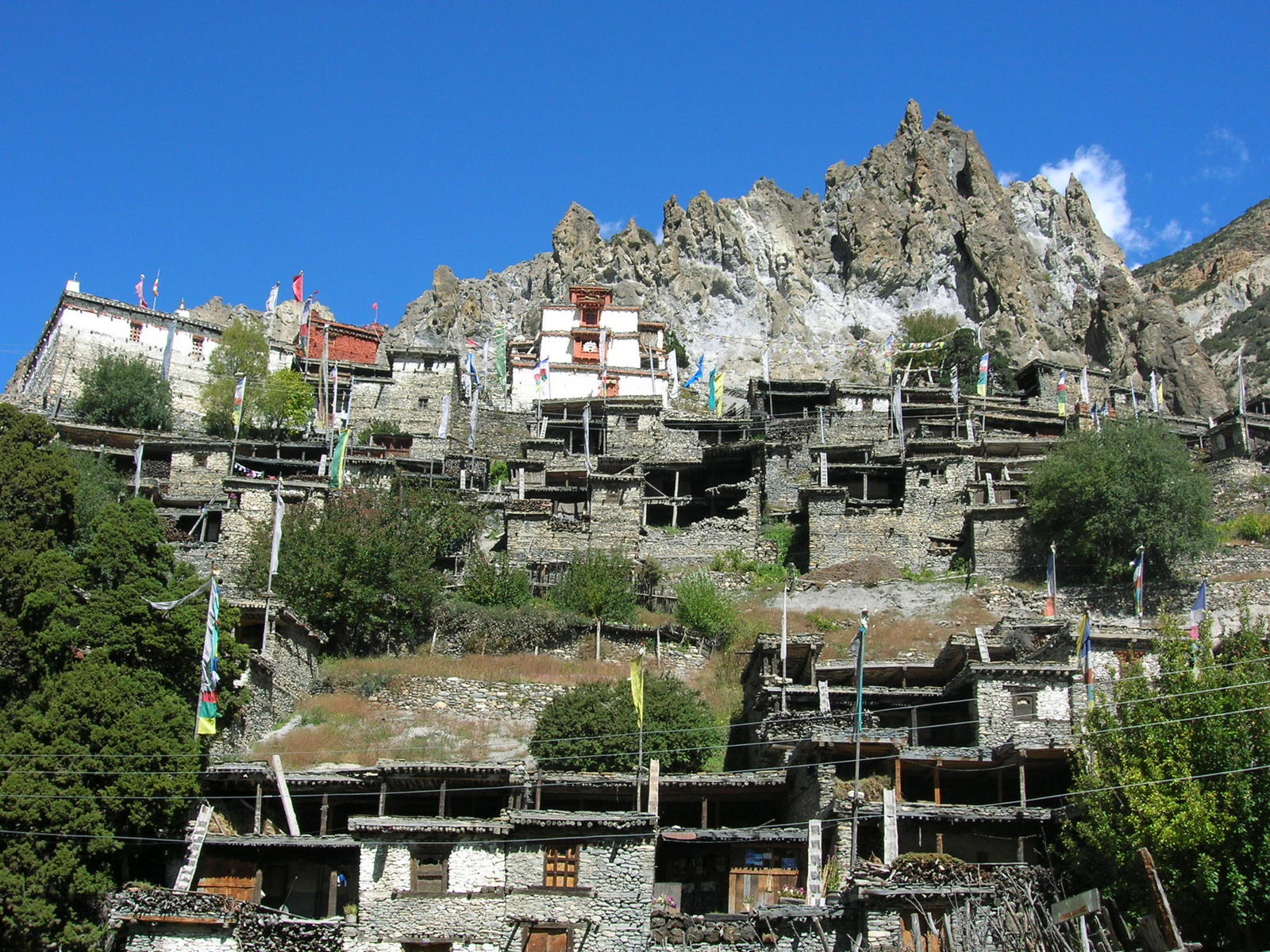
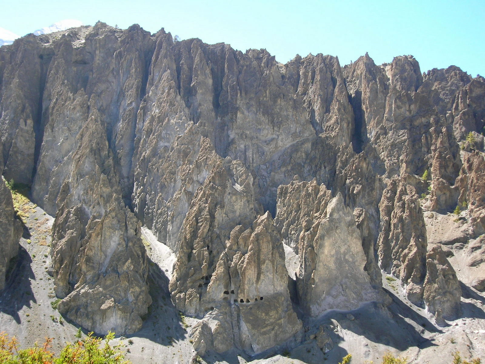 Rock formations before Manang. The black holes are caves for monks to retreat for praying.
previous next